
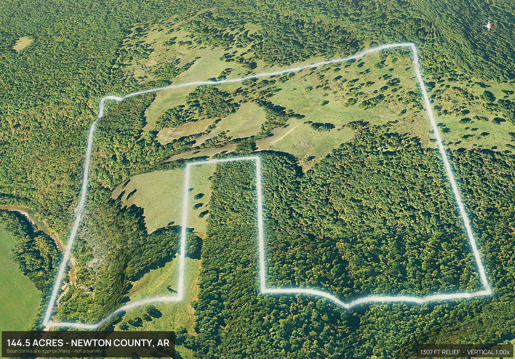
Dirt Flight is not a drone photography service. To get aerial photos of an Arkansas parcel, enter the county and the APN. The boundary is drawn from county assessor parcel data and the pack renders in about ten minutes: an outlined top down, four cardinal 3D views, an 18 second orbit video and a contour map that puts a number on the slope. Nobody flies out, so there is no travel charge, and all 75 counties render.
- Coverage
- Statewide, from county records
- Turnaround
- About 10 minutes
- Travel charge
- None, ever
- Imagery age
- One to three years
The Ozarks and the Delta are two different problems.
Arkansas land splits in half. North of the river it is hollows, bluff and hardwood where slope decides everything. East of Little Rock it is flat row crop ground where drainage and field edges decide it. One state, two entirely different sets of questions from buyers.
County assessor parcel data is what the boundary is drawn from, so coverage here is complete rather than partial. The contour map answers the first and the outlined top down answers the second, which is why both are in the base pack rather than sold as an upgrade.
Boundaries are approximate, from public parcel data, and are not a survey.
One APN. Everything below.
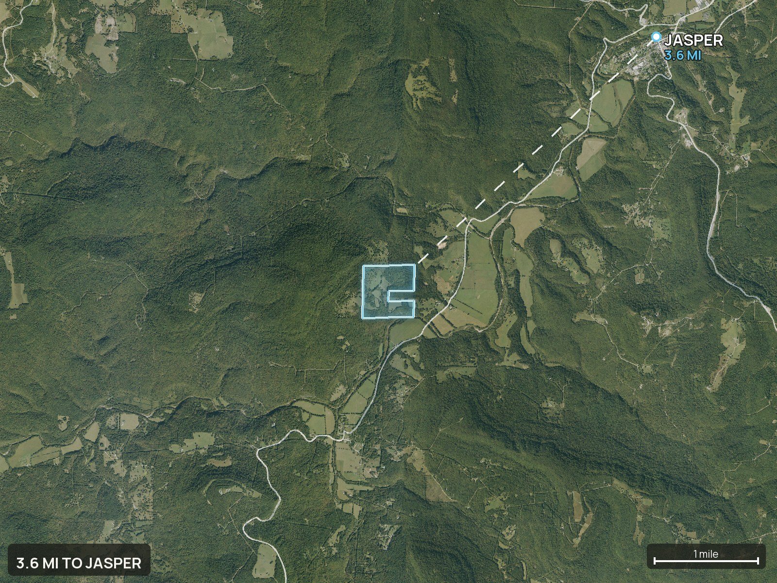
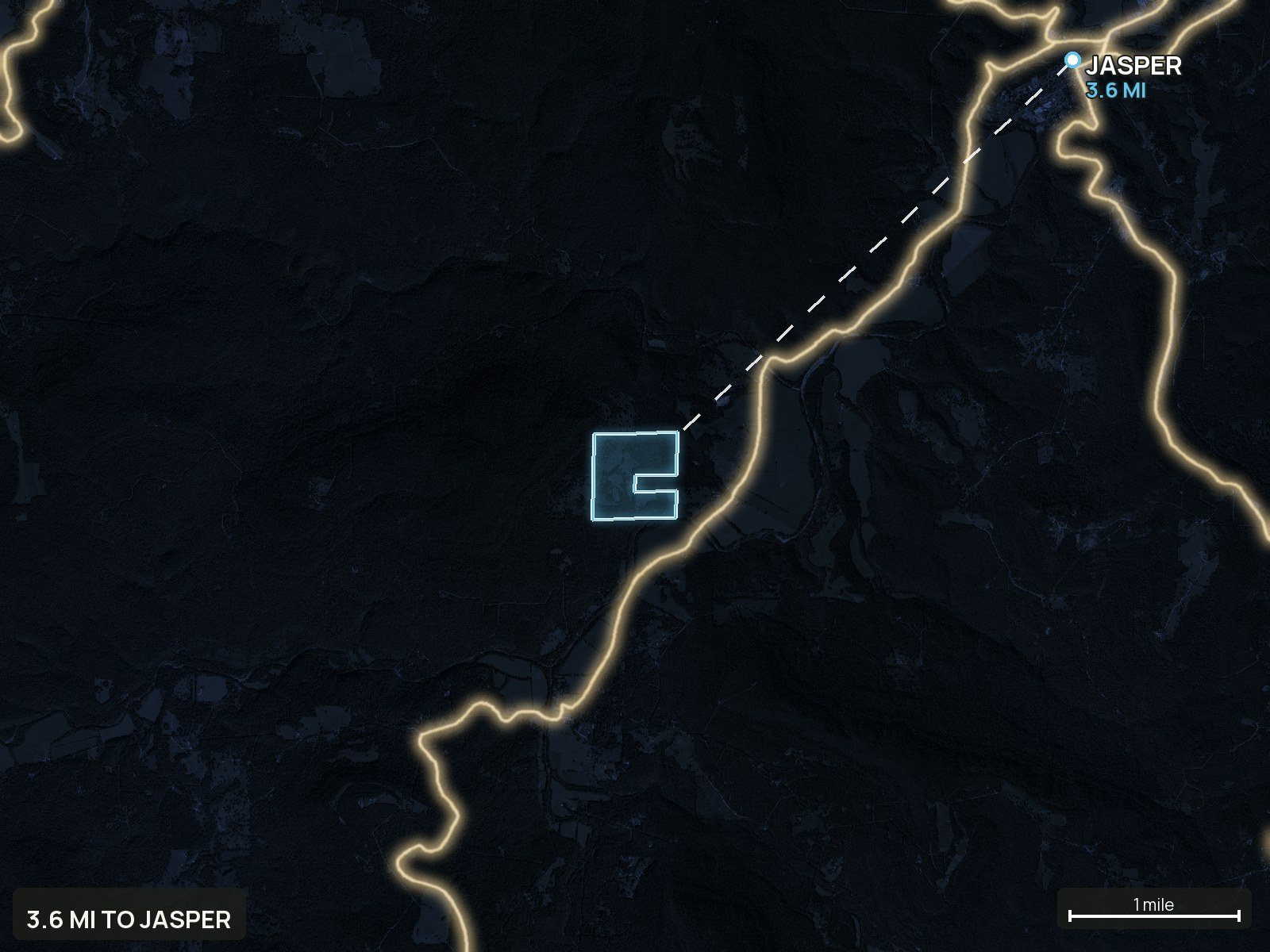
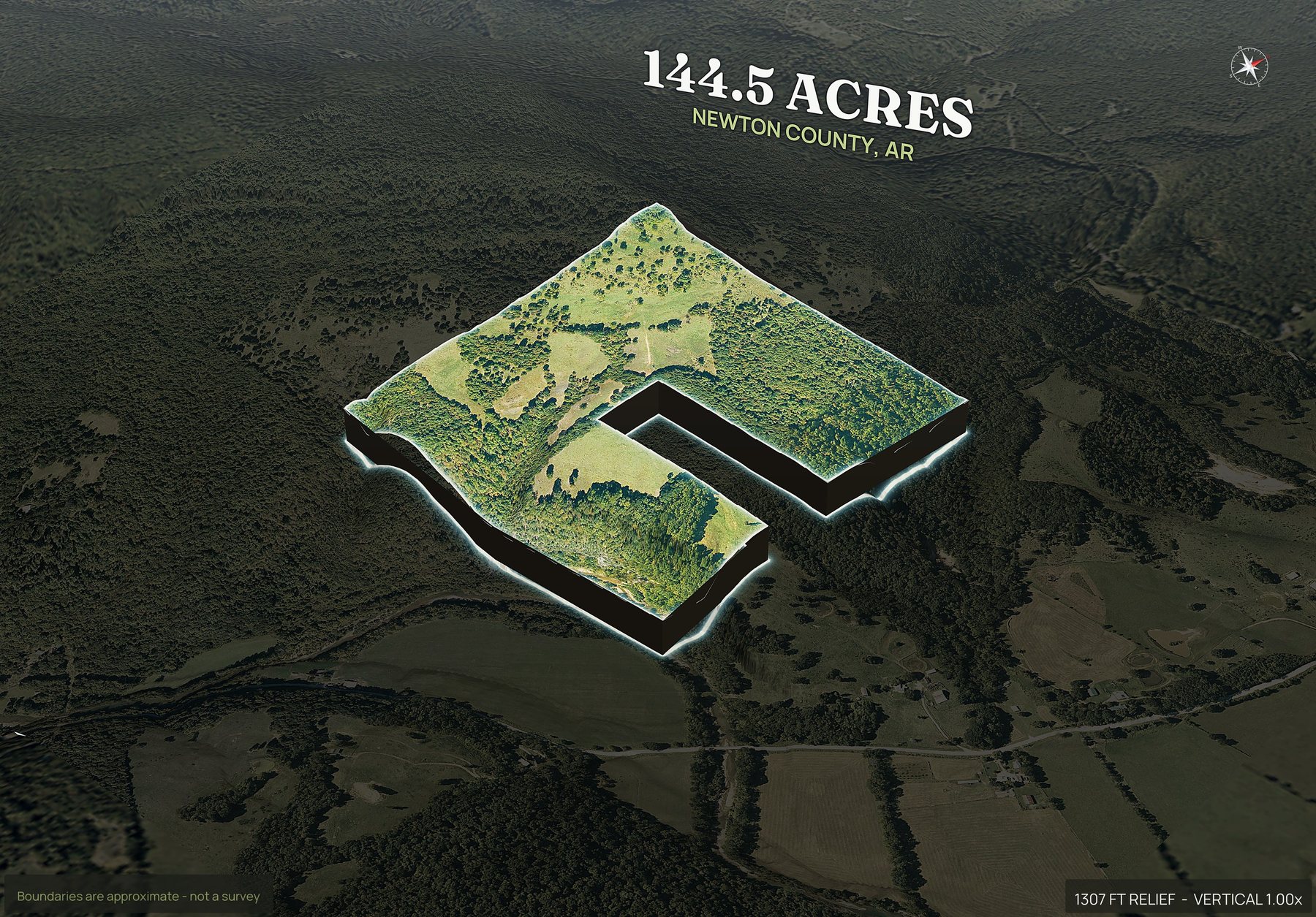
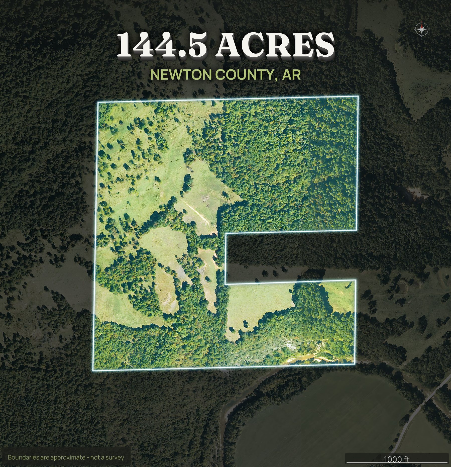
One parcel, one APN, everything below. Hardwood on the ridge, a spring branch in the hollow, and a gravel road along the front.
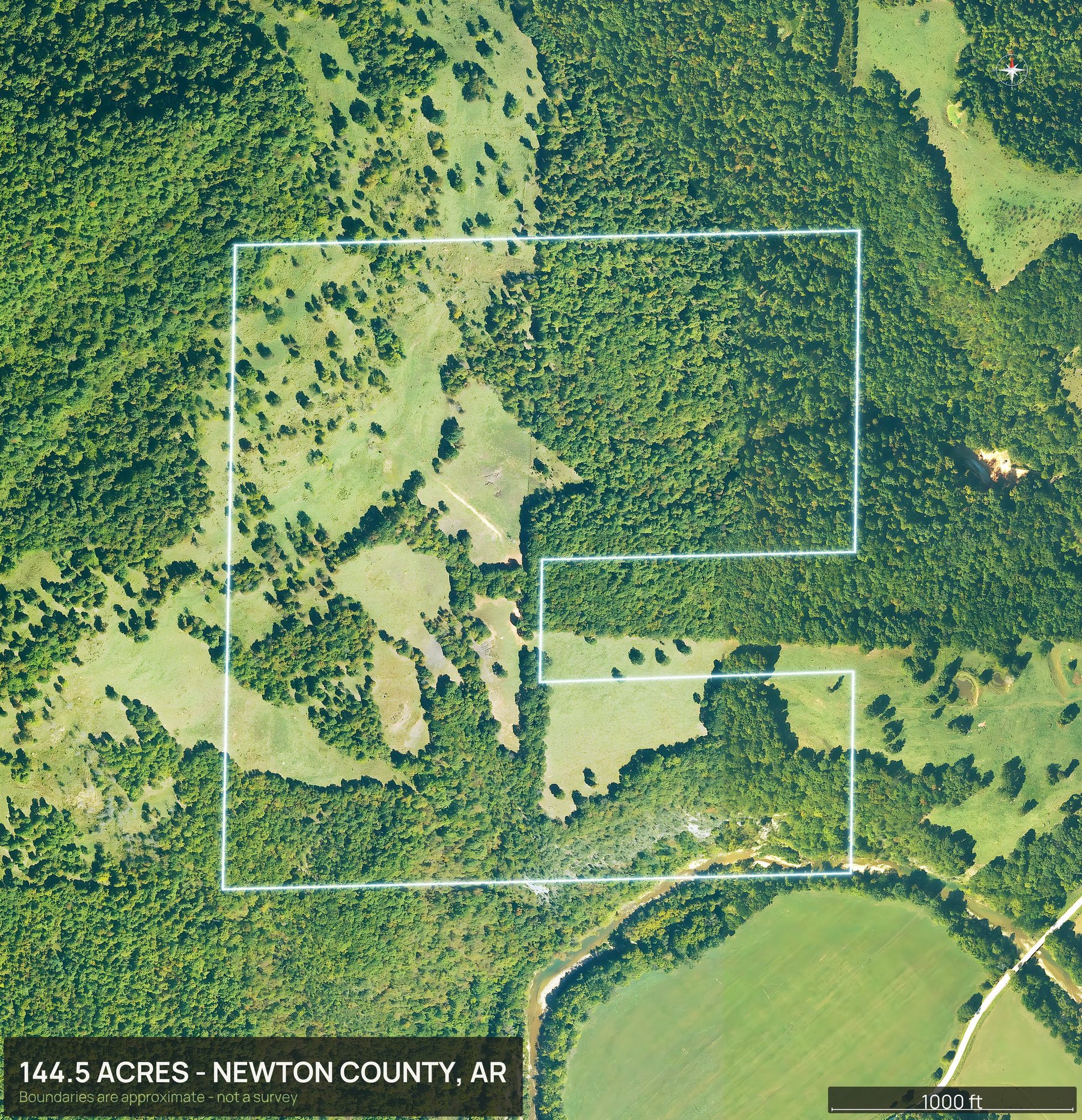
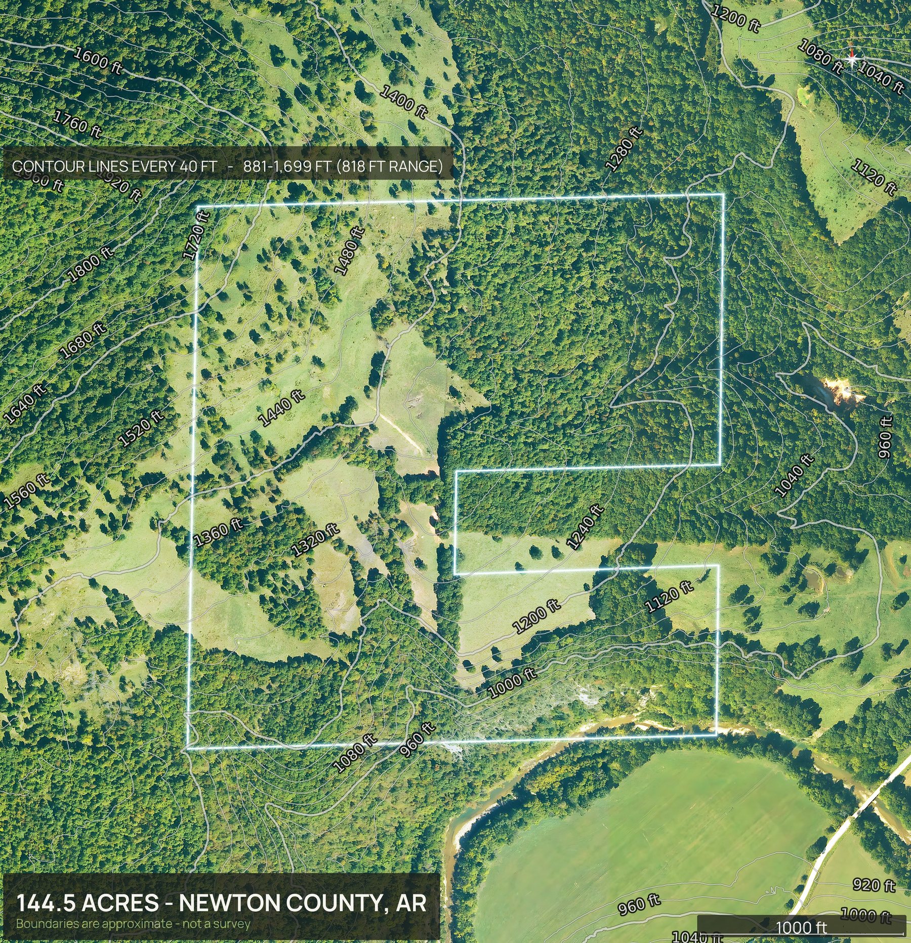
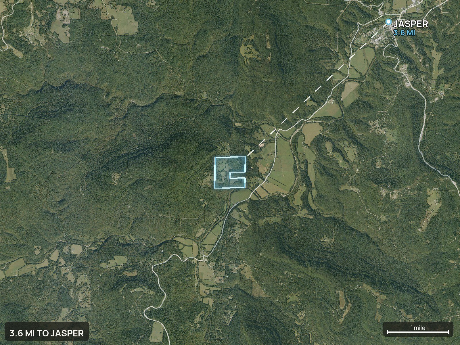
Everything in the pack
This is the whole Arkansas delivery.
Every view below came back from one parcel number, in about ten minutes, with no pilot and no site visit.
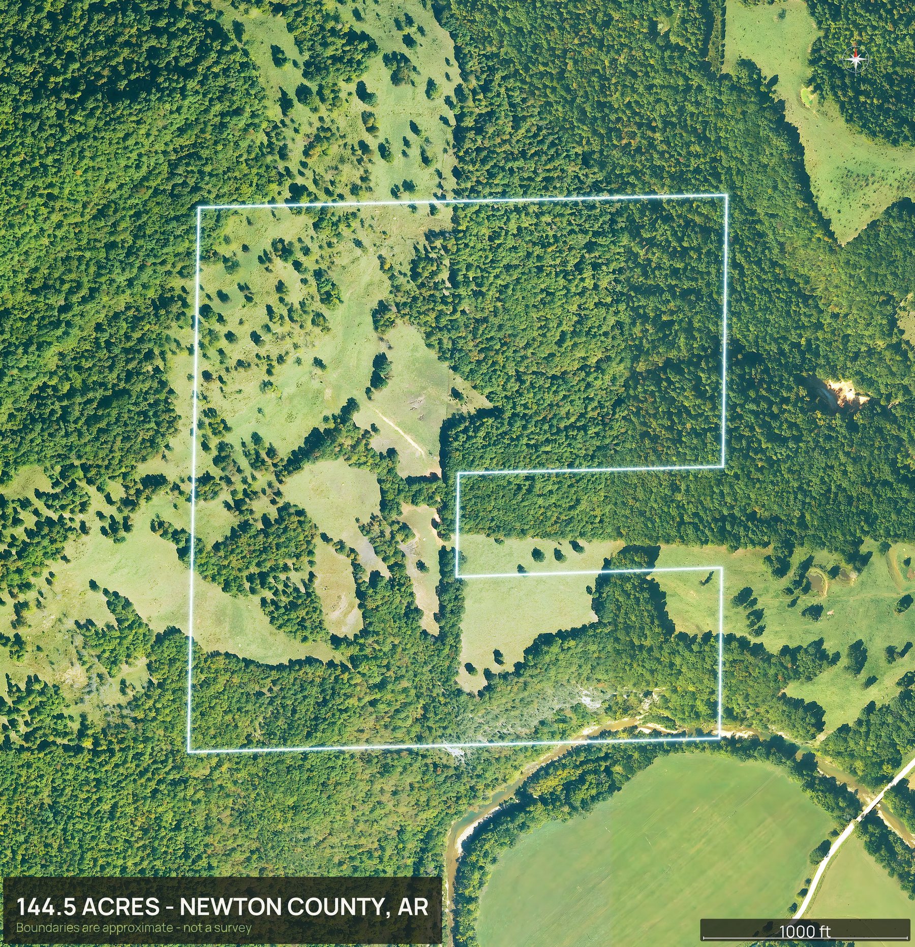
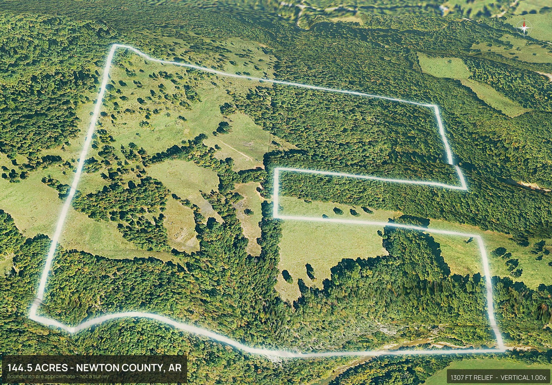
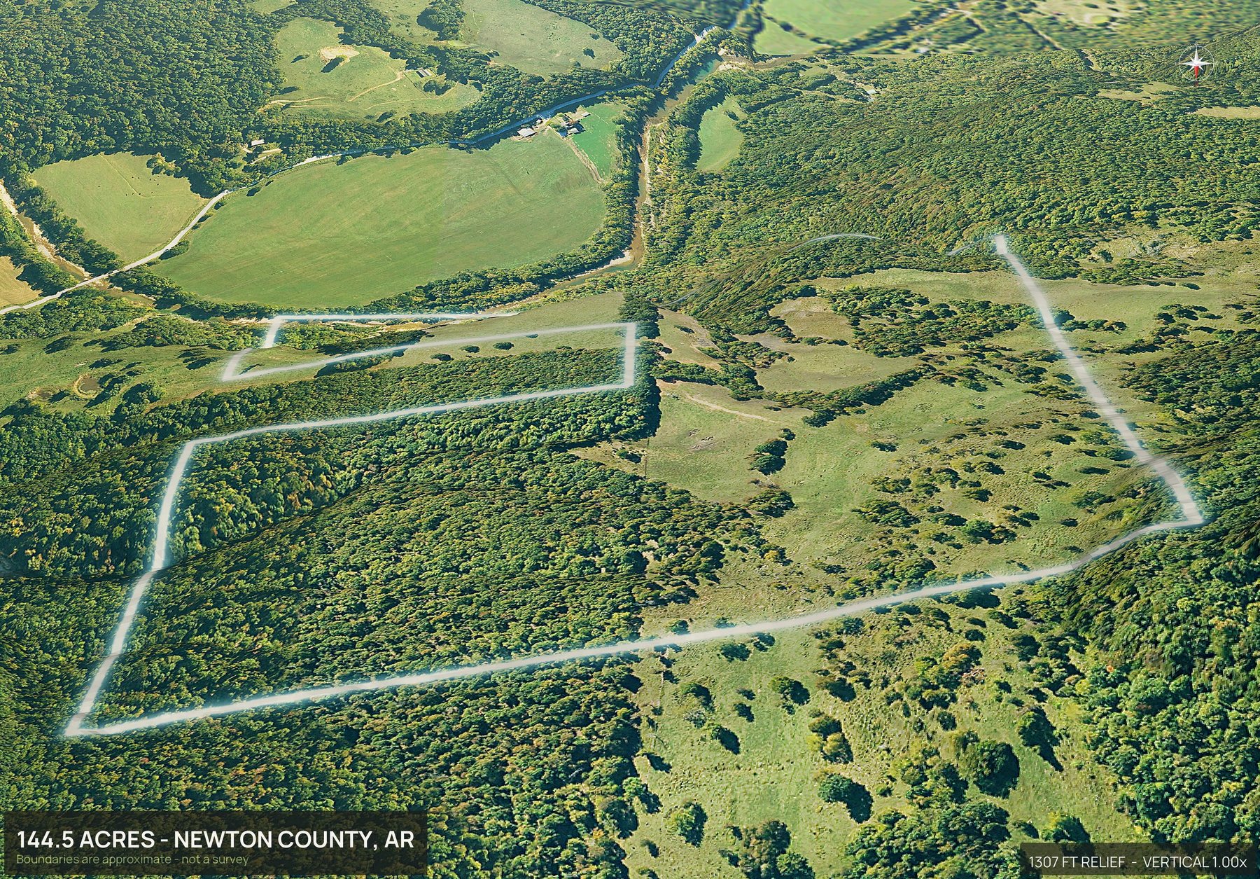
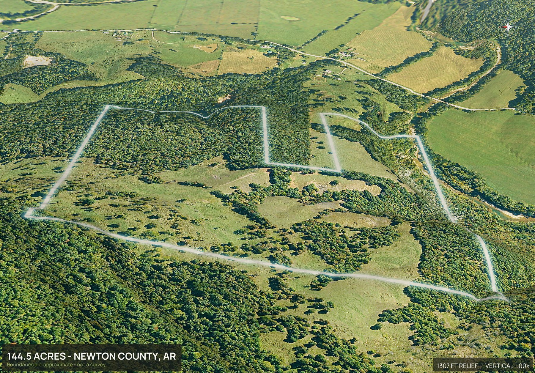
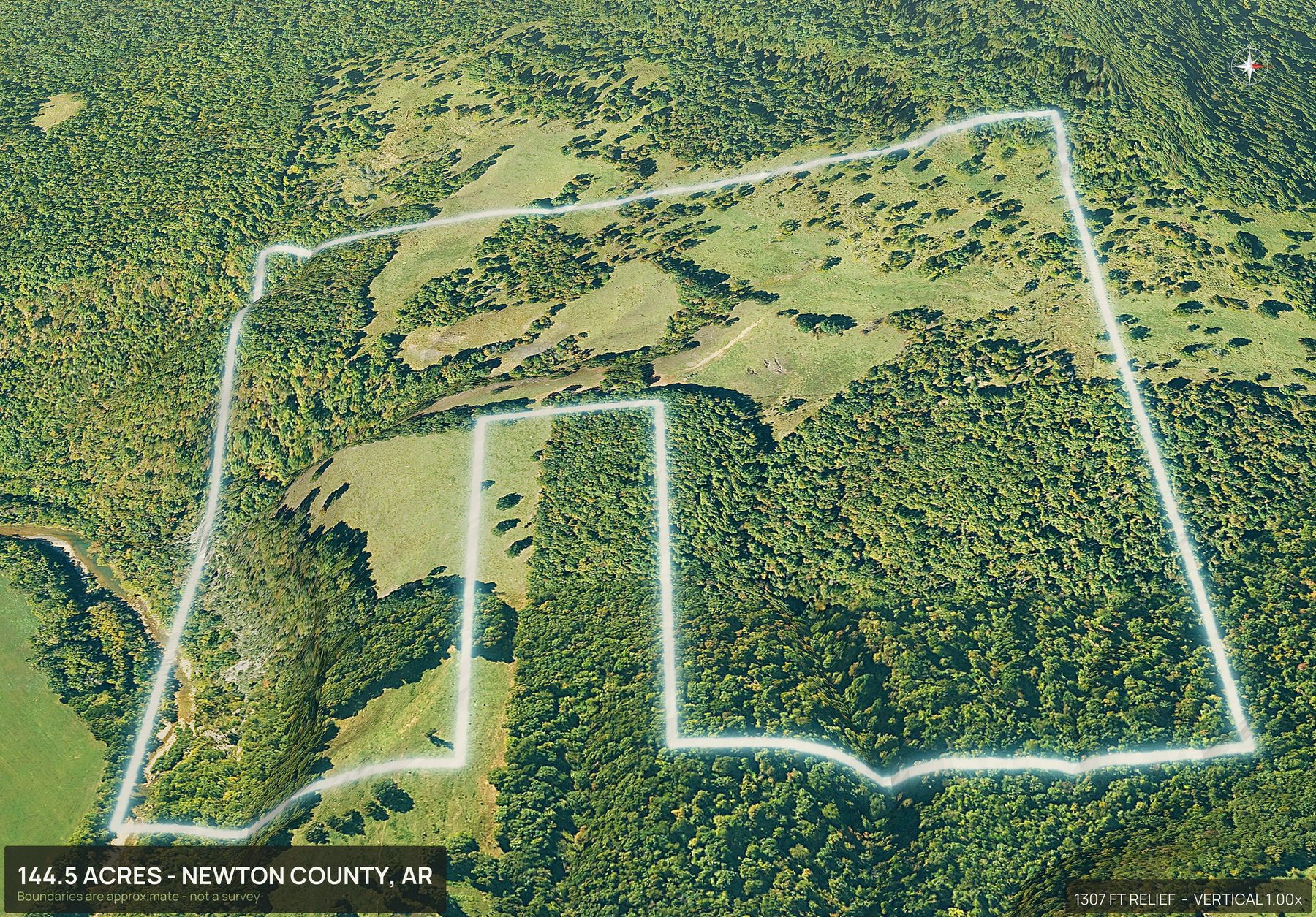
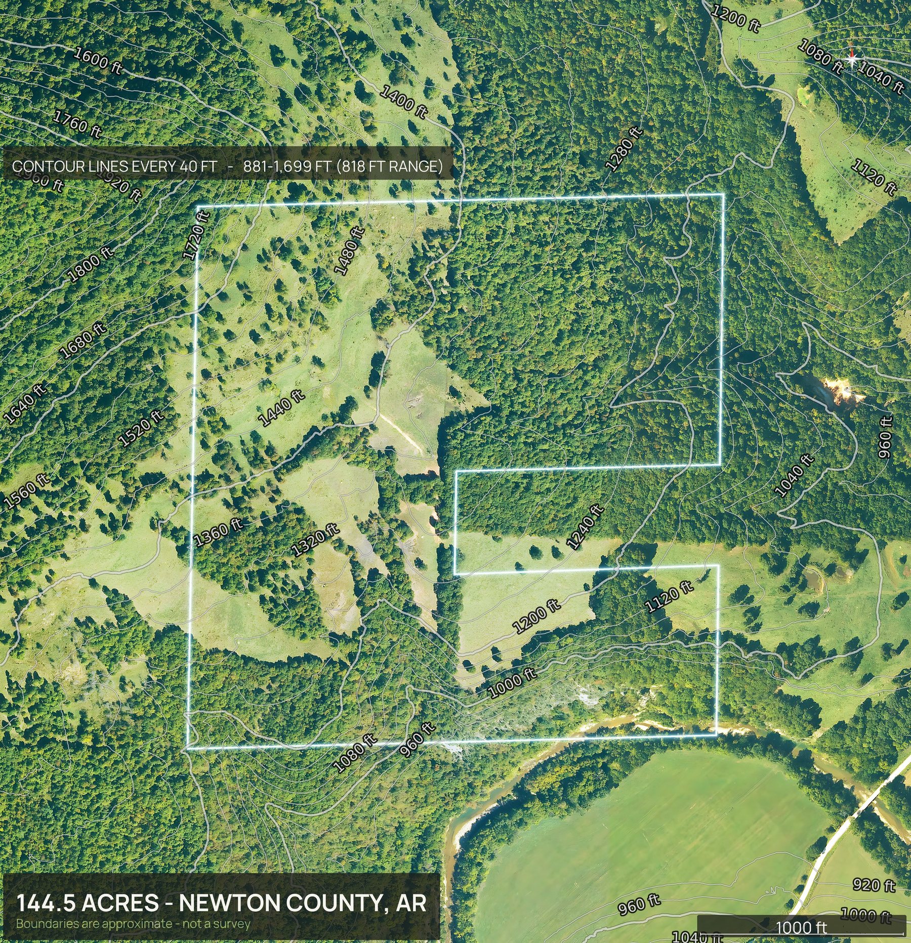
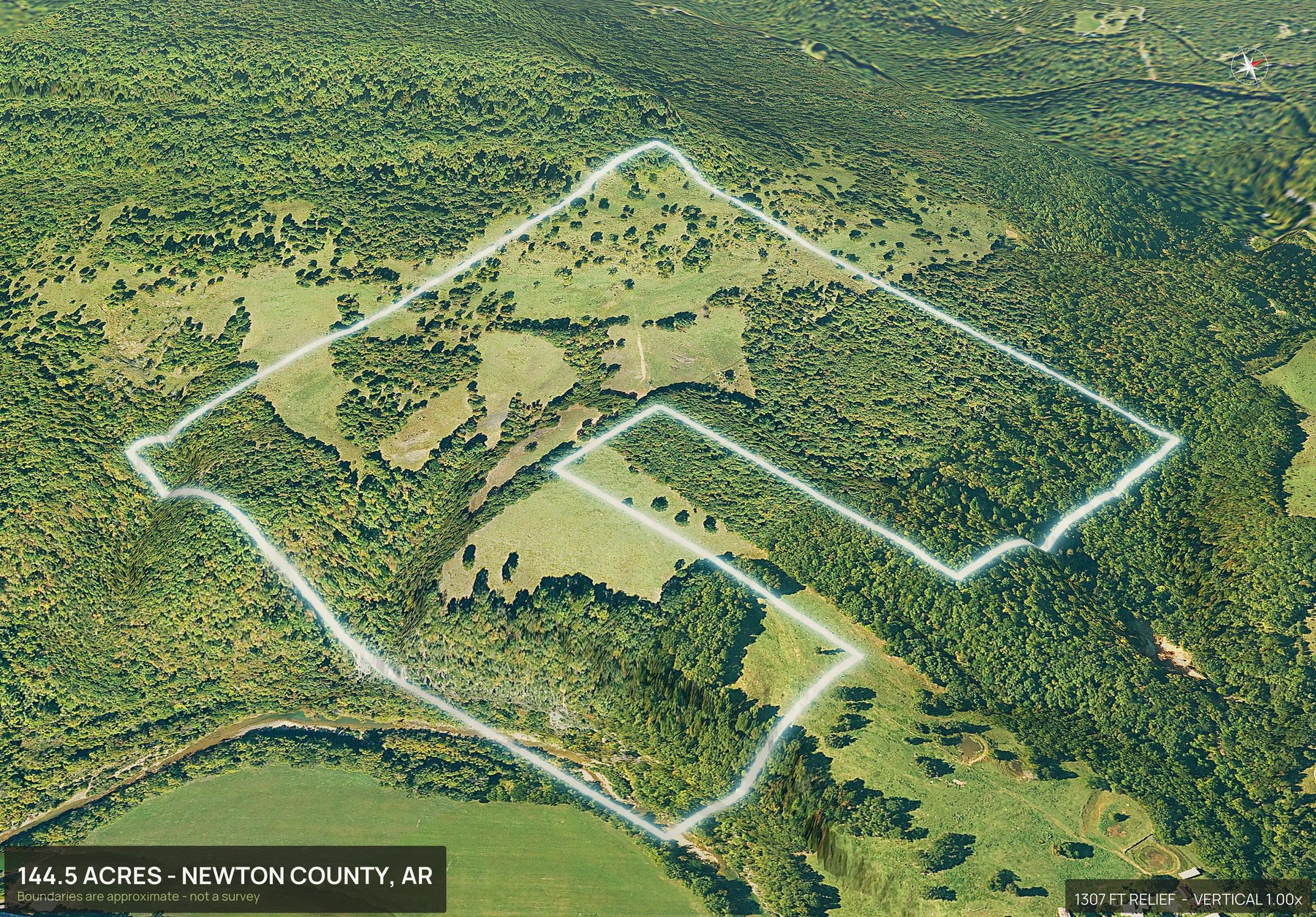
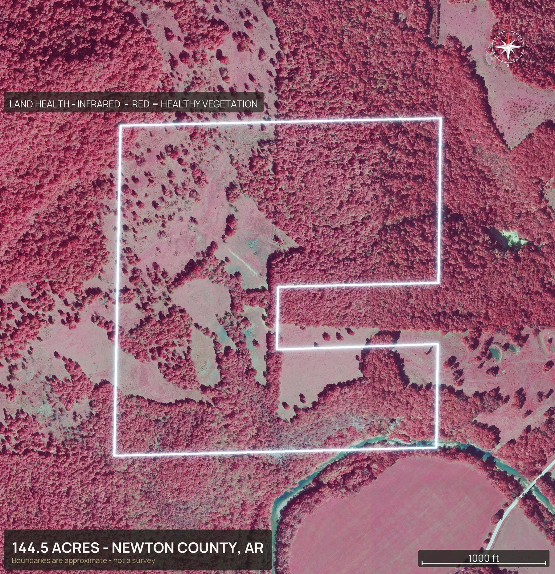
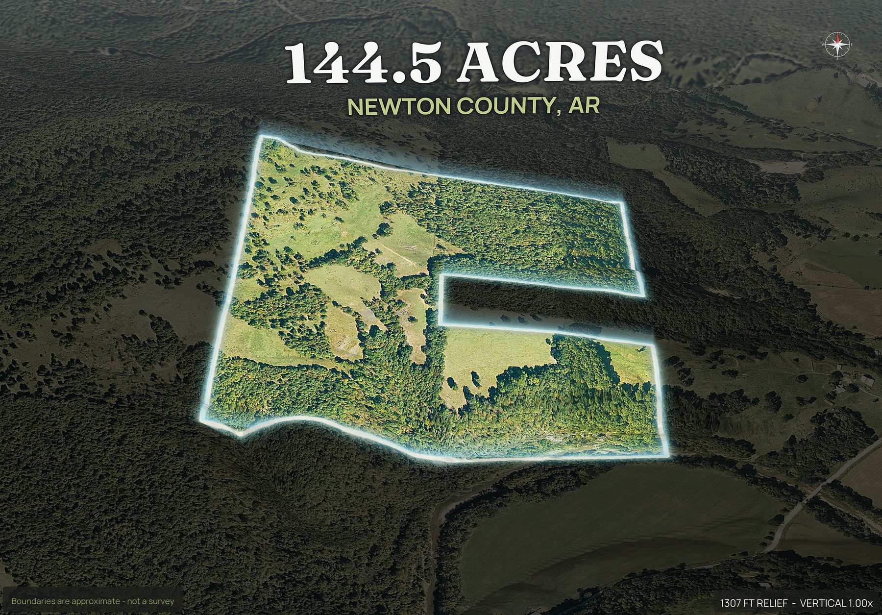
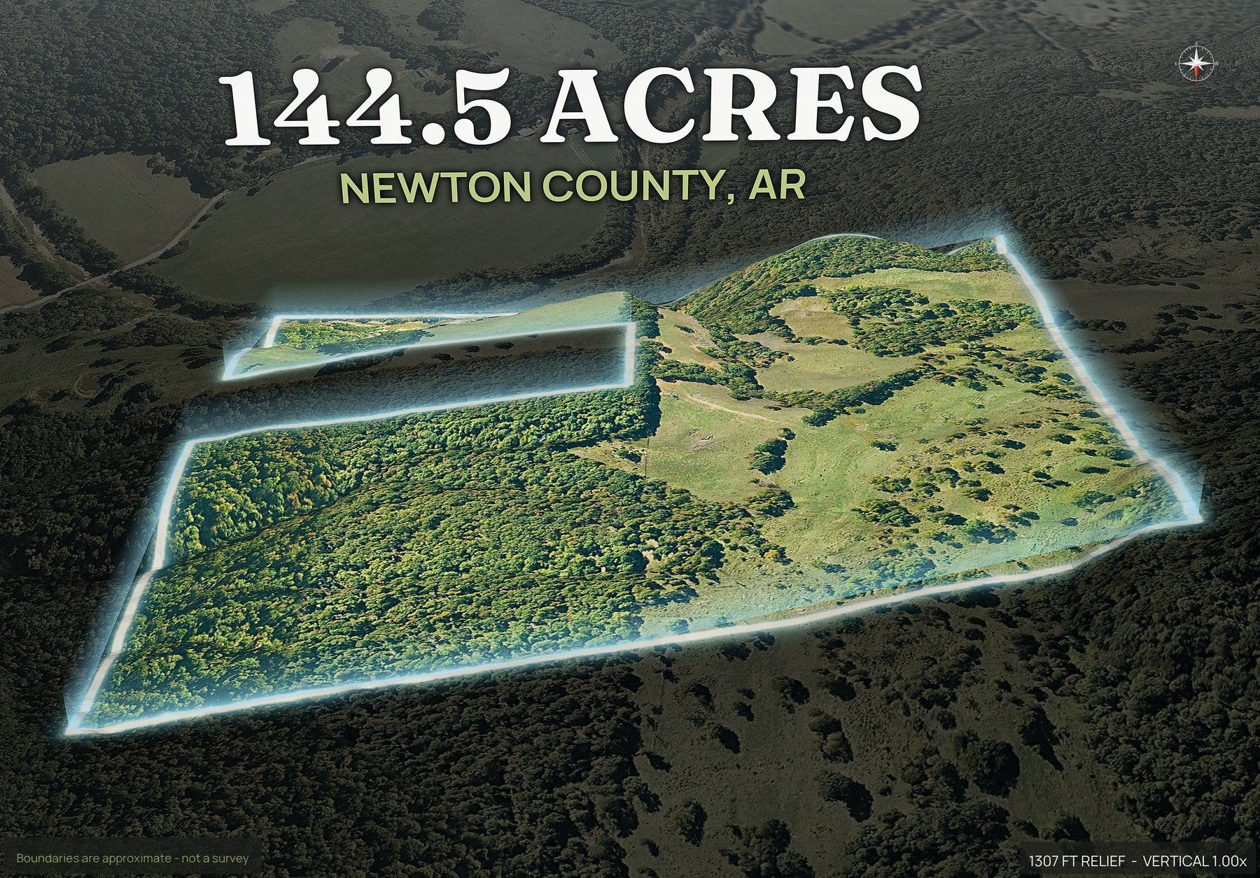
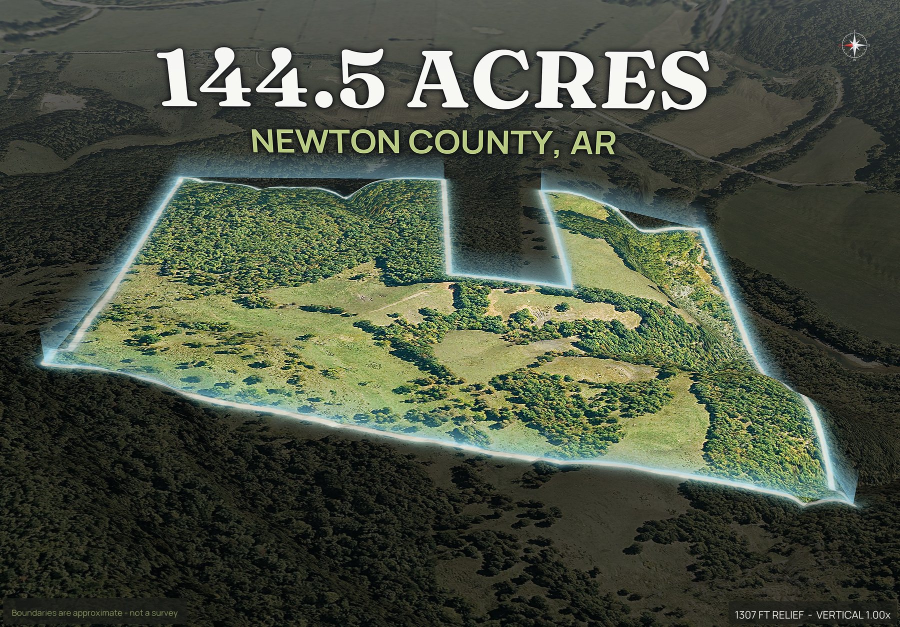
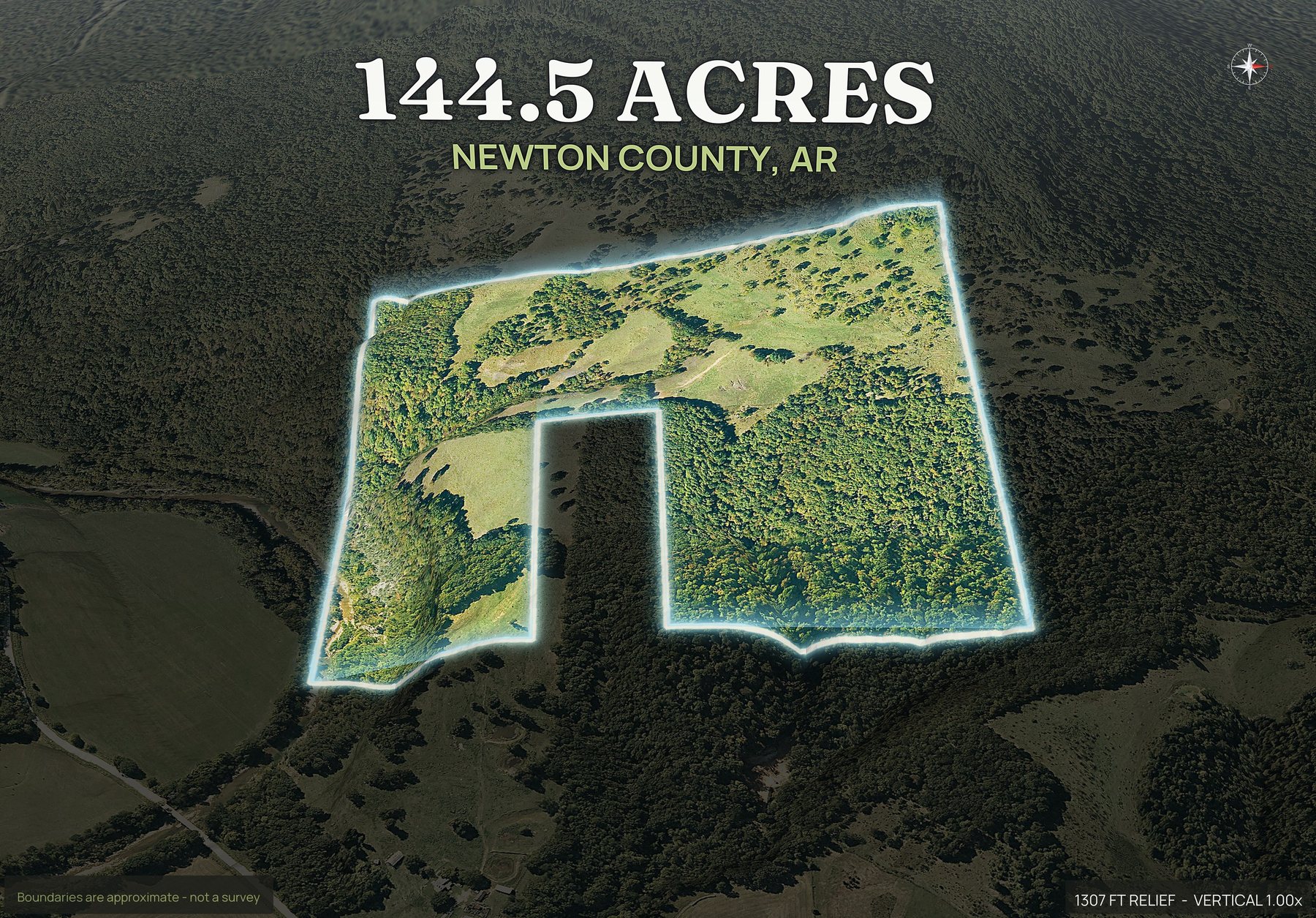
Where Arkansas land actually trades.
These are the ones land buyers ask for most, each with its own page.
Do not see your county? Every one of the 75 renders. Send the APN and it comes back the same ten minutes.
Asked by people selling Arkansas ground.
Which Arkansas counties can you do?
Send the county and the APN and we go straight to that county's own parcel records. Coverage varies: some states publish one statewide layer, others leave it county by county. If yours is one where the records are not public, you hear it from us before anything is charged.
How much does a drone photographer cost for a rural Arkansas listing?
Dirt Flight is not a drone photography service, so this is not our fee. In rural Arkansas a pilot quotes the shoot plus the drive, and the drive to a hollow in Searcy or Newton County is two hours of switchbacks each way. Dirt Flight renders the parcel from licensed aerial imagery and public elevation data instead of sending anyone up in the air, so there is no travel charge, no scheduling and no weather day.
Can a buyer tell how much of an Ozark tract is flat?
That is what the contour map is for. Ridge top, bench and hollow separate clearly, so usable acres are countable instead of argued about after somebody drives out.
Does it work on Delta row crop ground too?
It does, and the questions are different. Field edges, ditches, irrigation and the turn row all read from above, and the boundary shows where one field is split between two owners.
How recent is the imagery on an Arkansas parcel?
The licensed coverage for Arkansas is usually one to three years old, and every pack carries its render date. A recent cutover or a new gravel pull-in will not appear until the next flight. Anything that changed since the flight will not be in it.
What exactly comes back for an Arkansas APN?
The outlined top down, four cardinal 3D views, an 18 second orbit video, a contour map, a context map and a parcel info sheet, sized for listing sites and for print. Paydirt adds road frontage views, infrared, a social kit and the full resolution files. Arkansas sellers use the contour map for the hollows and the top down for the timber.
Got an Arkansas parcel under contract?
Send the county and the APN. If your invite is not open yet we will still look at the first one by hand.