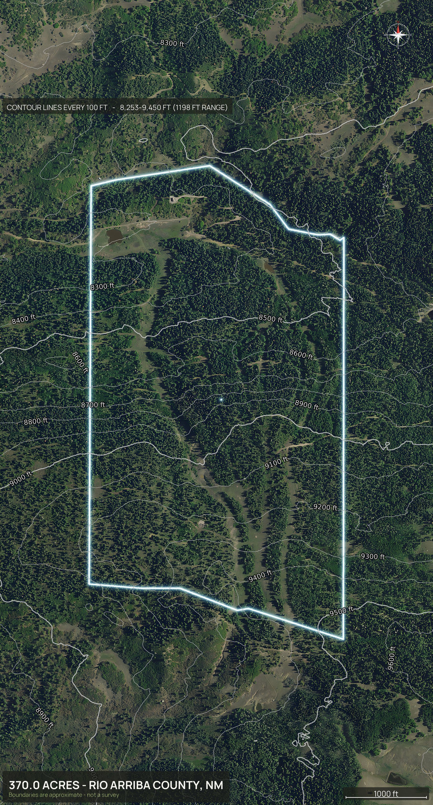
DirtFlight is not a drone photography service. To get aerial photos of land in New Mexico, enter the county and the APN, or draw the boundary on the map or upload a file. The pack renders in about ten minutes: an outlined top down, four cardinal 3D views, an 18 second orbit video, a hosted listing page and a parcel info sheet, with full resolution files of every view. Nobody flies out, so there is no travel charge, and it works anywhere in New Mexico. Dirt is $29 a parcel and Paydirt $79, or $199 a month for PayDirt Pro (20 Paydirt packs a month). Paydirt adds a contour map, the road frontage hero, the infrared land health view, the full social kit with platform captions, a posting plan and silent reels, pop-out photos from nine directions, the interactive 3D explorer and the measured diligence layers.
- Coverage
- All of New Mexico
- Turnaround
- About 10 minutes
- Travel charge
- None, ever
- Imagery age
- One to three years
Big country, and half the buyers are out of state.
New Mexico land sells to people who have never seen it. Old paper subdivisions, ranch splits, mesa lots at the end of a caliche road. What they need is the parcel outlined on real imagery, the terrain, and an honest picture of how far out it sits.
A tract in Socorro County renders in the same ten minutes as a lot in Bernalillo County, and arroyos, two-tracks and juniper cover read clearly from above.
Boundaries are approximate and are not a survey.
One parcel. Everything below.
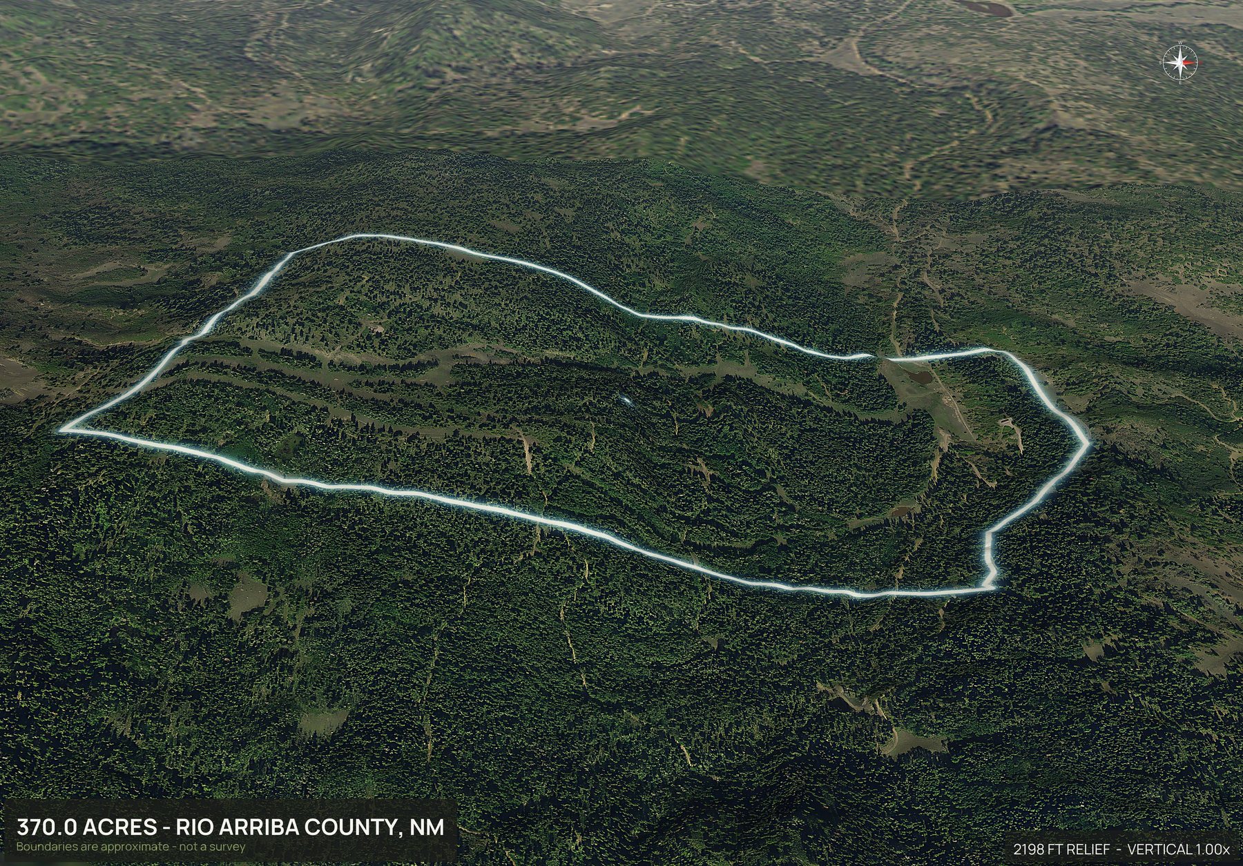
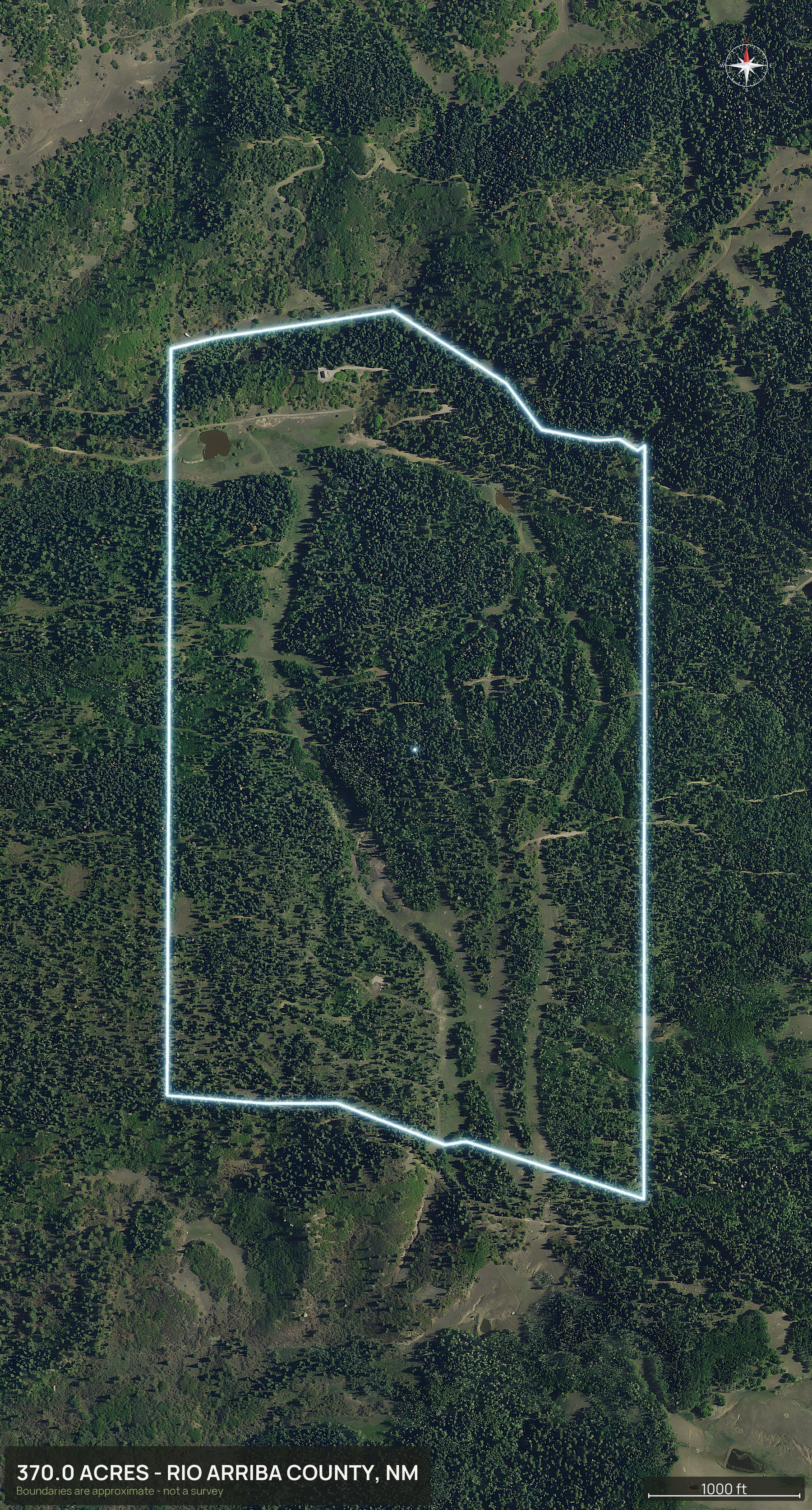
One parcel. Juniper and grama on a gentle rise, an arroyo through the southeast corner, and a caliche road along the front.
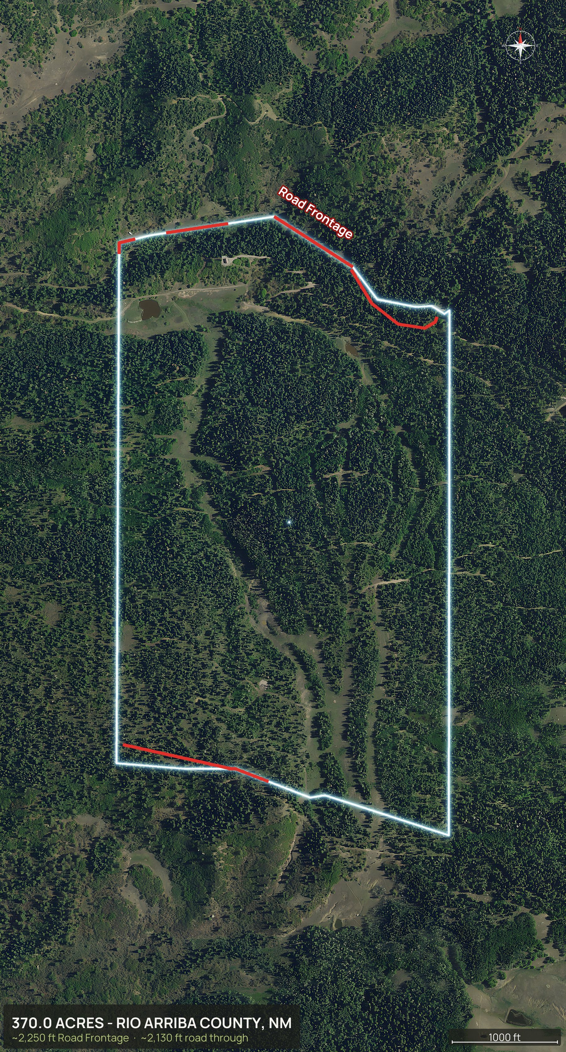
Everything in the pack
This is the whole New Mexico delivery.
Every view below came back from one parcel, in about ten minutes, with no pilot and no site visit.
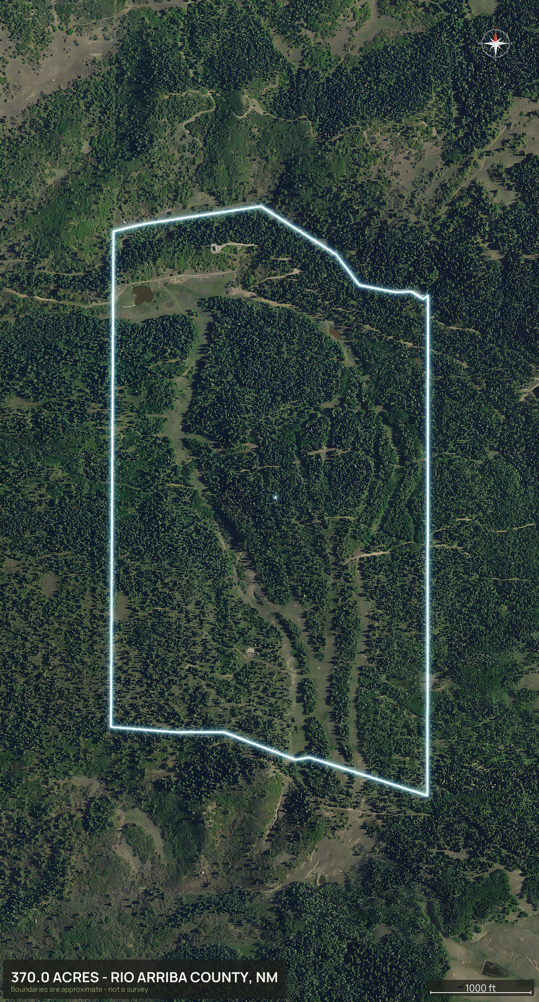
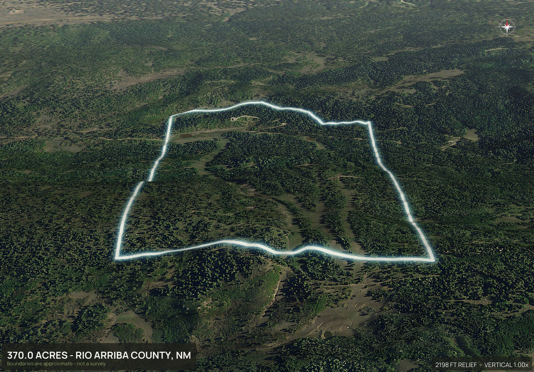
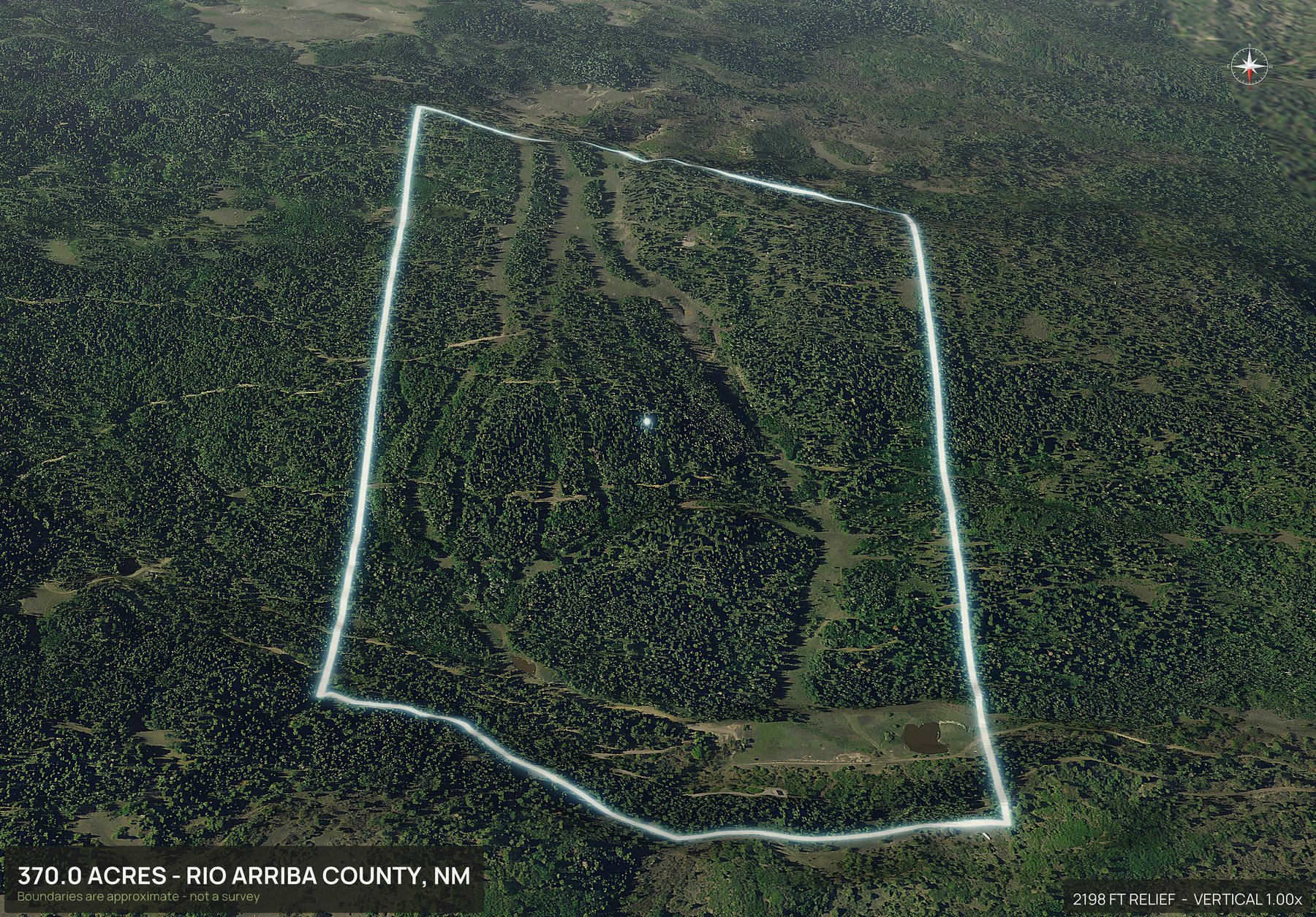
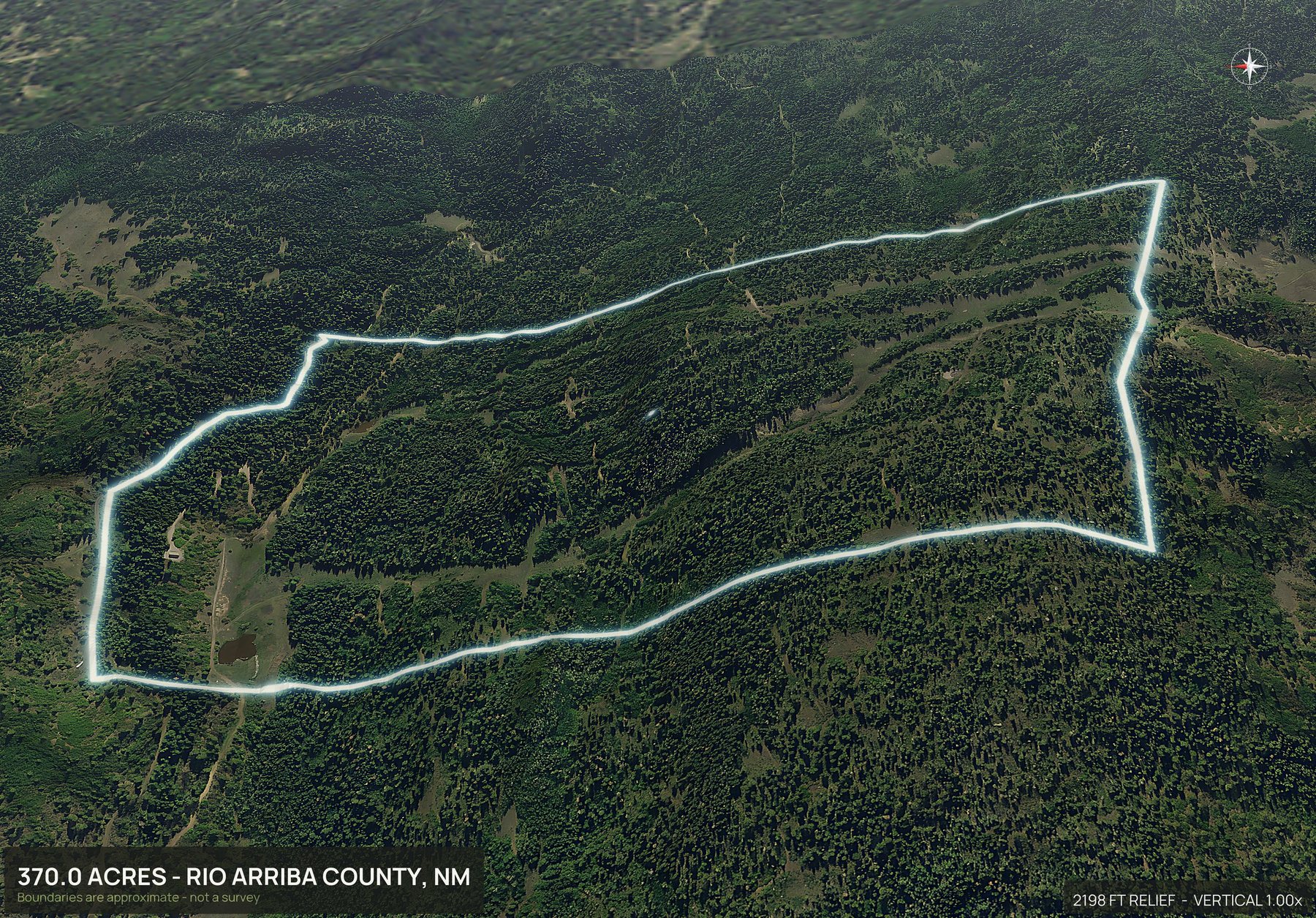
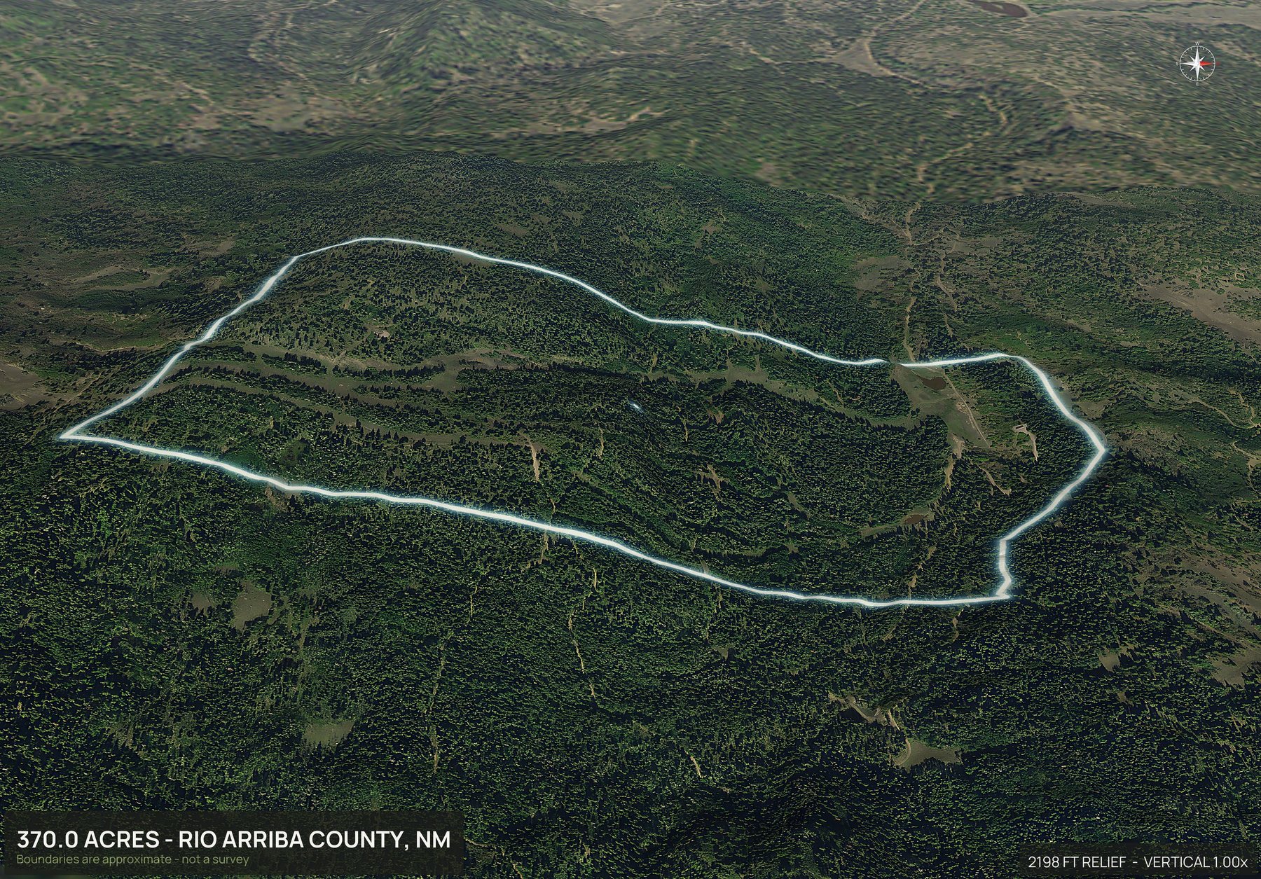
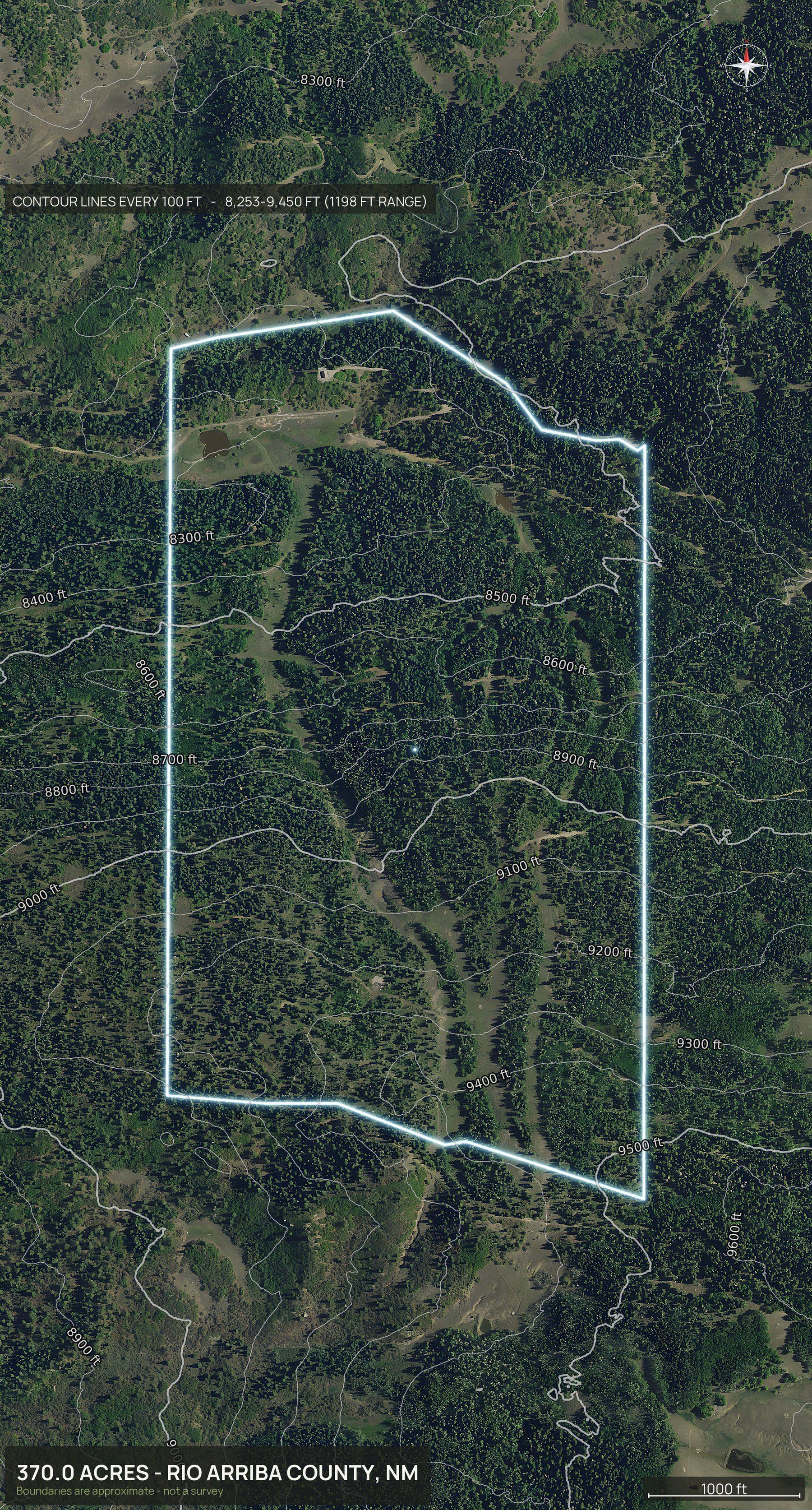
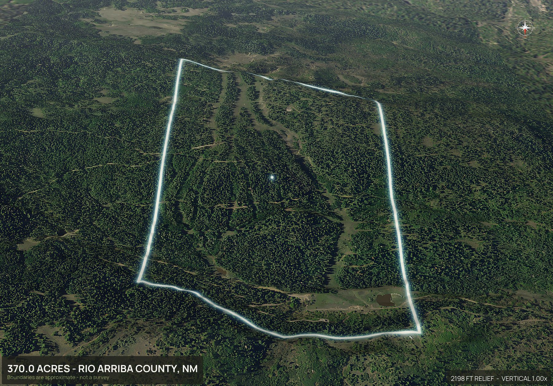
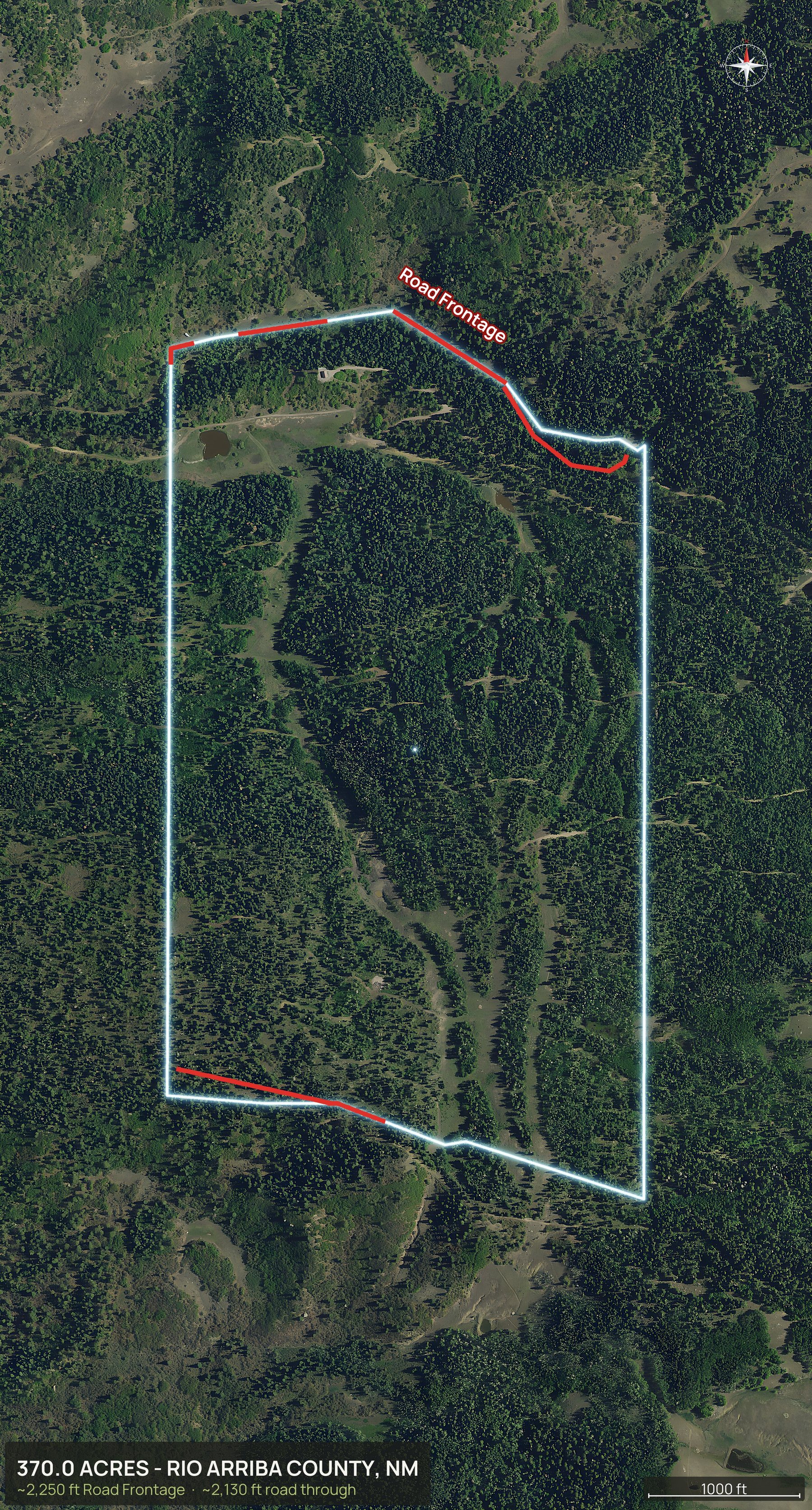
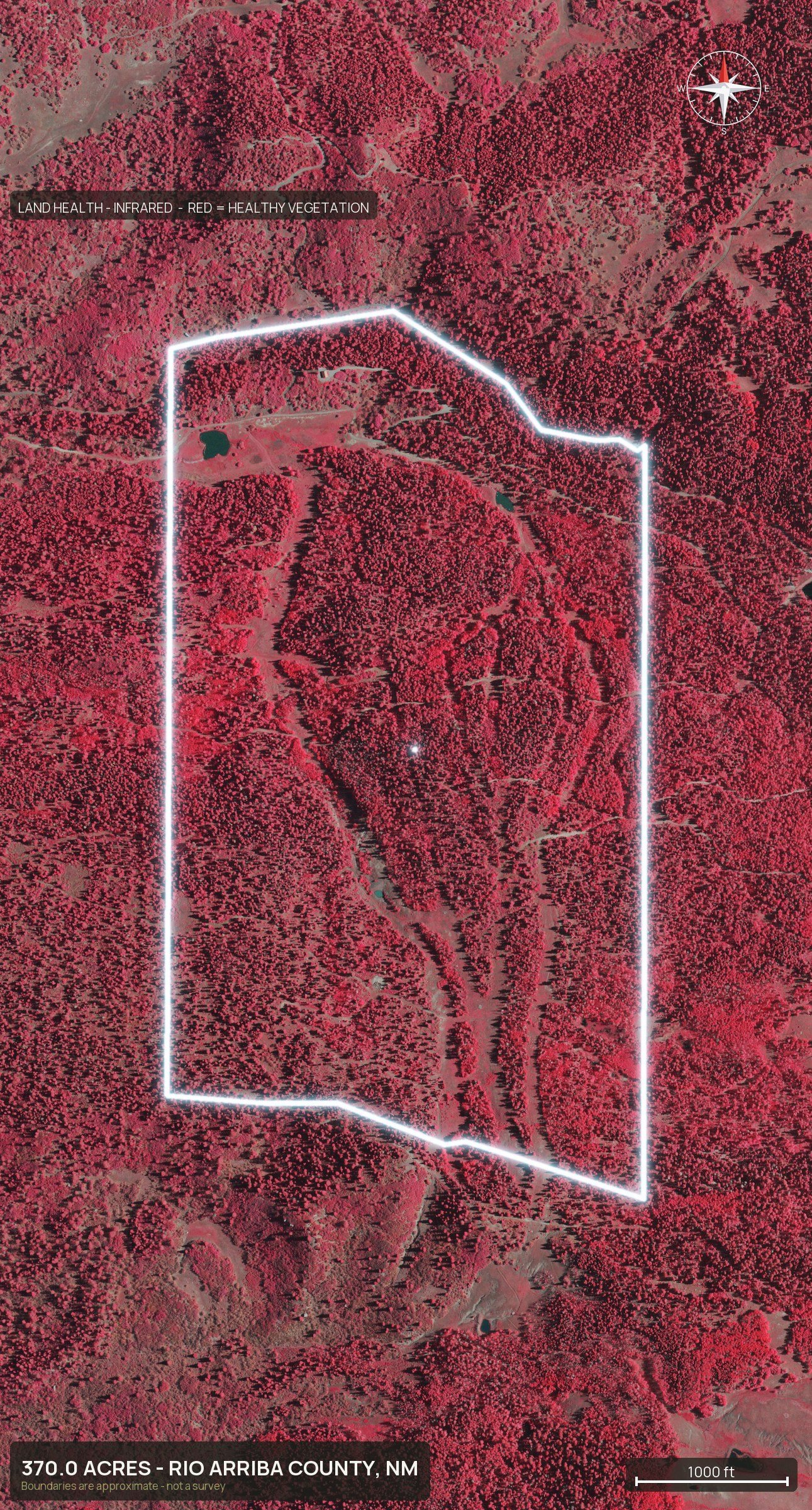
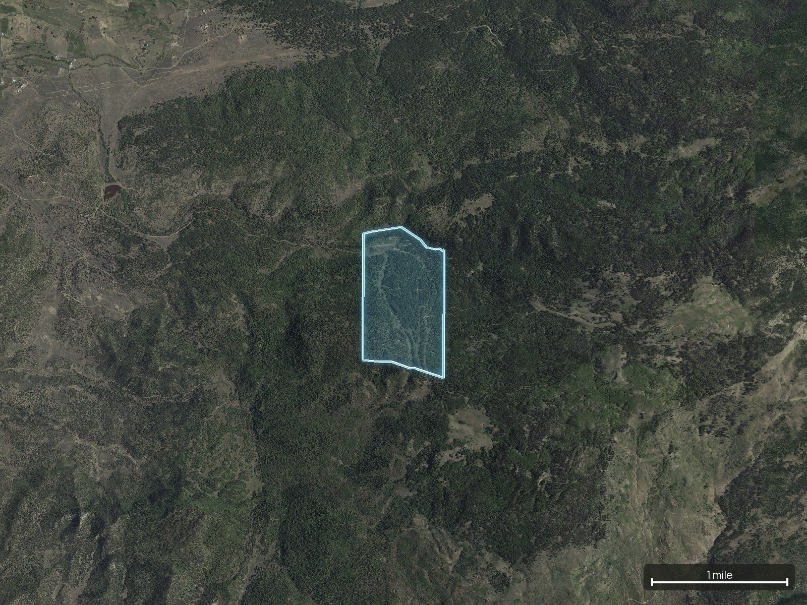
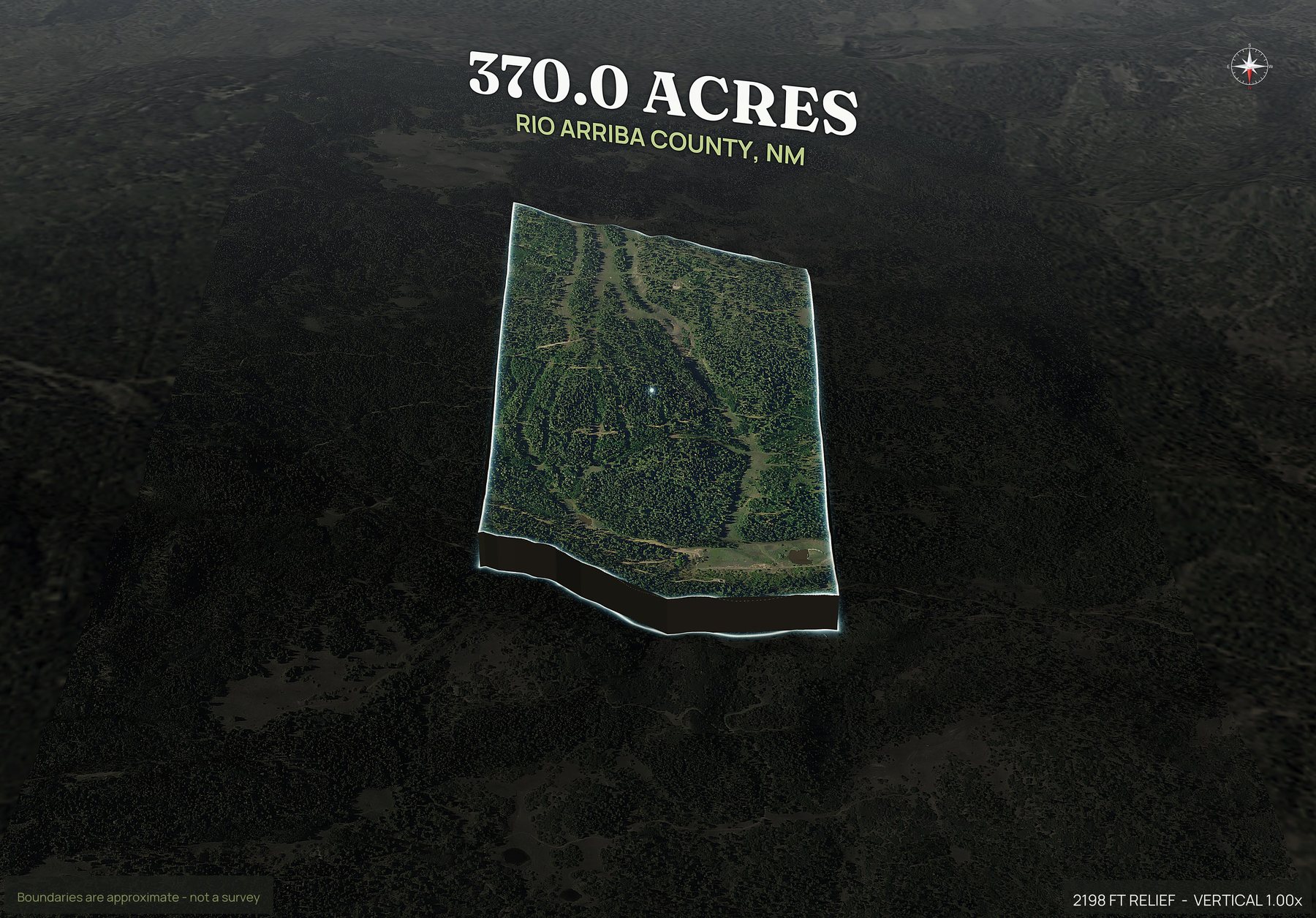
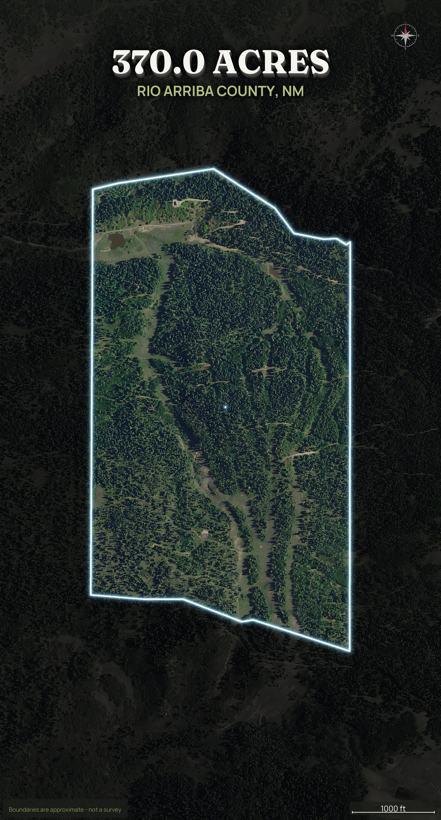
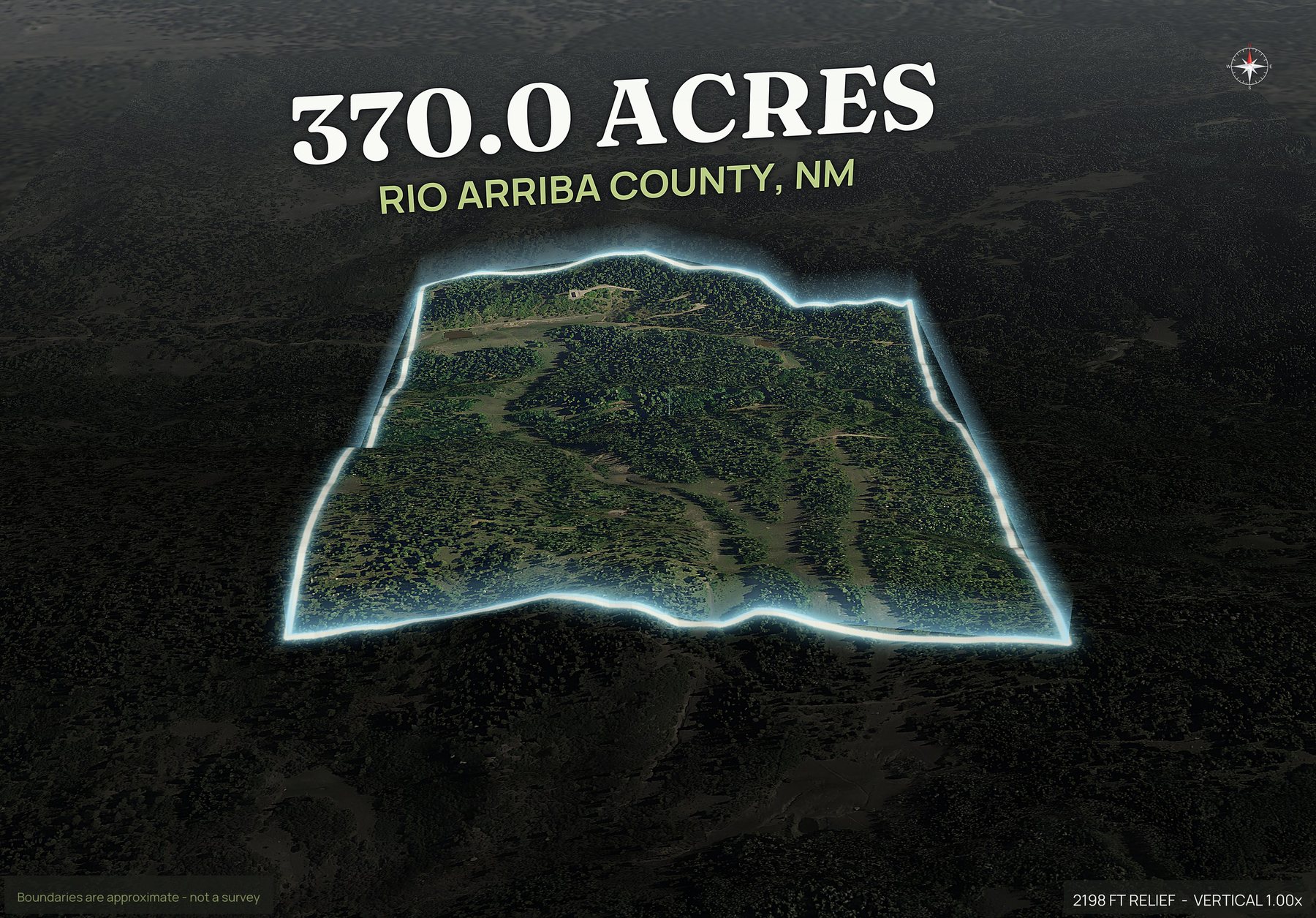
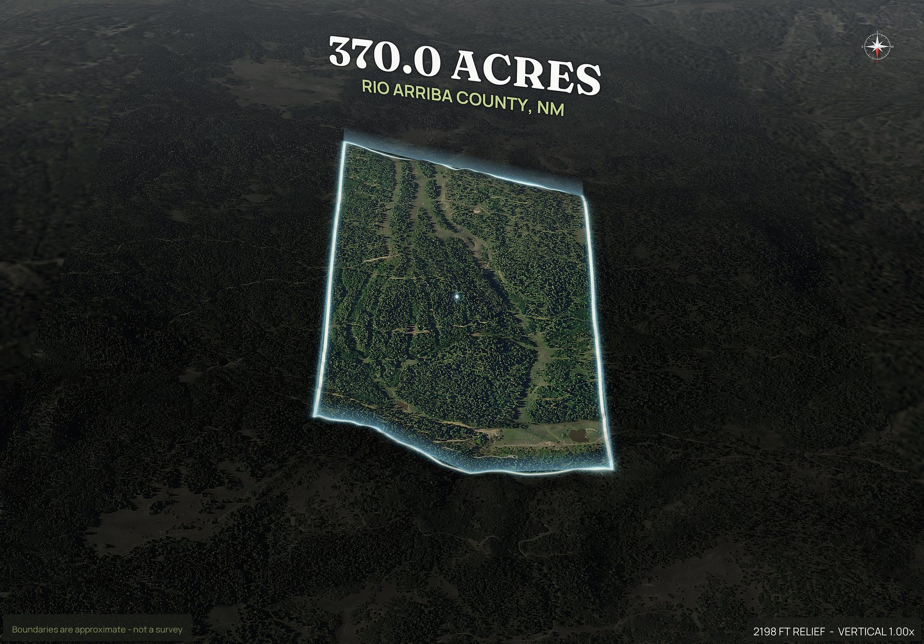
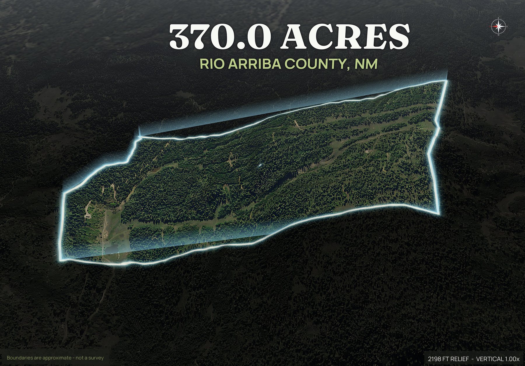
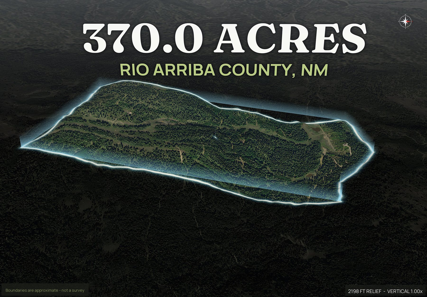
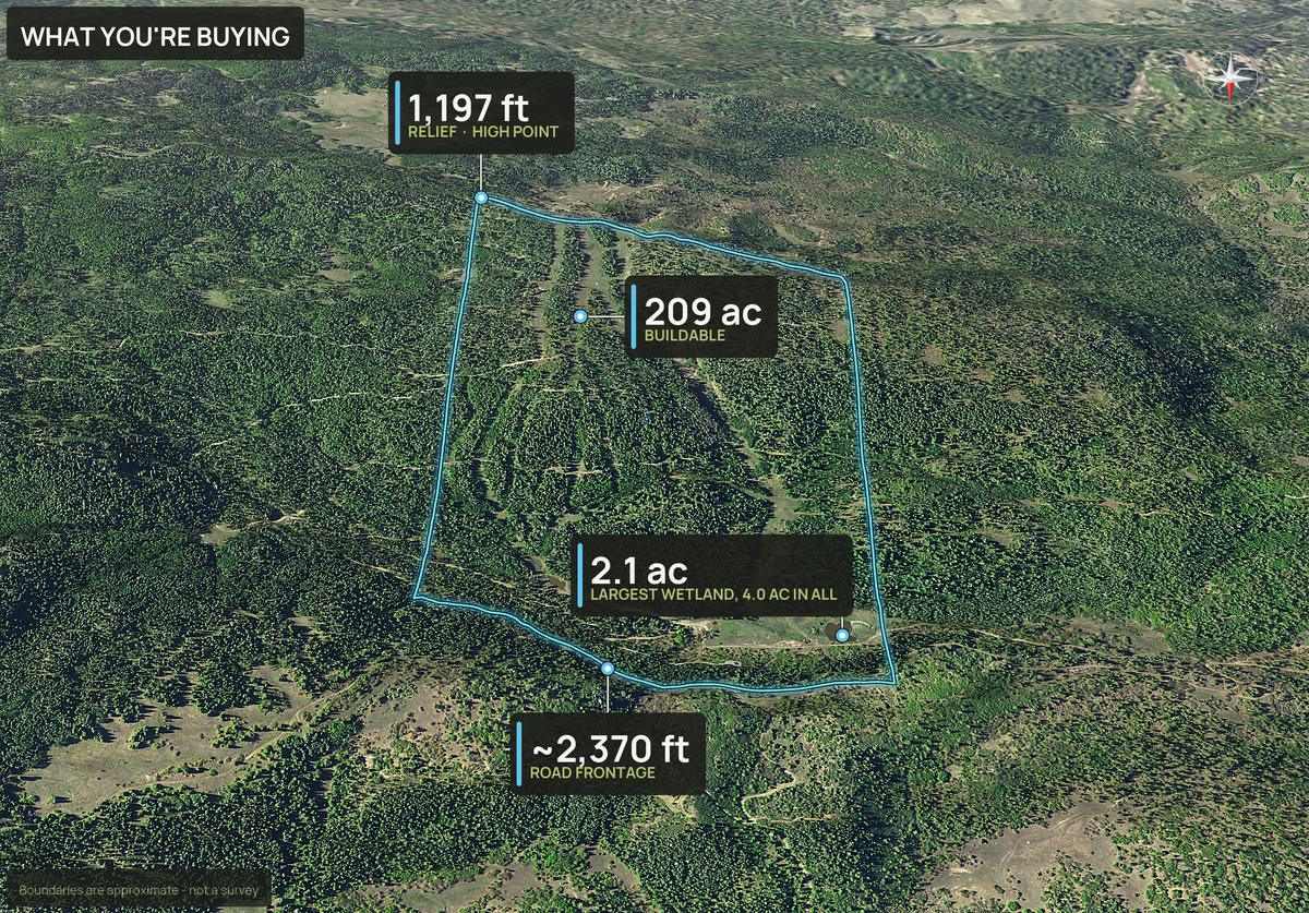
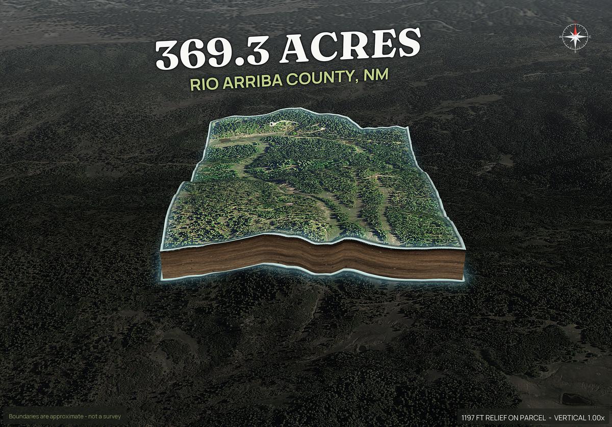
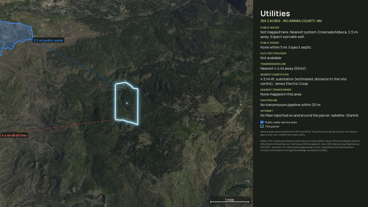
Where New Mexico land actually trades.
These are among the counties land buyers ask about most.
Any New Mexico county works: type the parcel number, draw the boundary on the map, or upload a KML, KMZ, GeoJSON or zipped shapefile. Try your APN free, and if a parcel will not come up from its number you hear that before anything is charged.
What to know before you order a New Mexico parcel.
- Coverage
- Any New Mexico county works: type the APN, draw the boundary on the map or upload a file. See coverage.
- Common land
- High desert and mesa land, grazing and ranch ground, mountain and pinon-juniper acreage, irrigated valley land, and older rural subdivision lots.
- Typical uses
- Rural and off-grid homesites, ranch land, recreation, and lots held in older subdivisions.
- Reads well from above
- Arroyos and drainage, mesa edges, the road in, slope, and vegetation from grass to pinon and juniper.
- Your parcel number
- The number to look for is the parcel number on the county record.
- Boundary and imagery
- The boundary is approximate and is not a survey. Imagery is the most recent aerial available for that county, usually one to three years old.
Rules for splitting a New Mexico tract differ by county, so start with the county planning office. How to subdivide land walks through the steps, subdivide land photos renders a pack for every lot from a plat or a drawn split, and land home packages screens where a home can go on a lot.
Also: drone photography vs DirtFlight · what land aerial photography costs · land listing photos checklist
Asked by people selling New Mexico ground.
Which New Mexico counties can you do?
Any New Mexico county works. Send the county and the APN and DirtFlight renders the pack. If a parcel will not come up from its number, you hear that before anything is charged, and you can draw the boundary on the map or upload a KML, KMZ, GeoJSON or zipped shapefile instead. The pack comes back the same.
Do packs work for New Mexico mesa, ranch and subdivision land?
High desert and mesa land, grazing and ranch ground, mountain and pinon-juniper acreage, irrigated valley land, and older rural subdivision lots. Typical uses there: rural and off-grid homesites, ranch land, recreation, and lots held in older subdivisions.
Will arroyos and terrain show up?
Clearly. Arroyos, rock rims, mesa edges and the juniper line all read from above, and the contour map shows the relief. On a lot sold sight unseen, that is what stops a buyer from being surprised.
Can this work for old subdivision lots with no improvements?
That is a common use. An empty lot in an old paper subdivision renders as an outline on real imagery, and the context map shows how far it sits from pavement and services.
What should I look up for a New Mexico parcel?
In New Mexico, the number to look for is the parcel number on the county record. Enter the county and the APN as it appears on the tax record, or a street address, and DirtFlight draws the boundary. If a parcel will not come up from its number, you are told before anything is charged, and you can draw the boundary on the map or upload a boundary file instead.
What can you see from above on New Mexico high desert?
Arroyos and drainage, mesa edges, the road in, slope, and vegetation from grass to pinon and juniper. The boundary is drawn on every view, and the imagery is the most recent aerial available for that county, usually one to three years old, with the date on the pack.
List your New Mexico parcel today.
Send the county and the APN, or draw the boundary on the map or upload a file. Free for a limited time.