
DirtFlight / How to list land for sale
Guide
How to list land for sale, step by step.
Vacant land sells on the facts a buyer cannot see from the road. Here is the order that gets a listing live and answers the questions before they are asked.
Short answer
To list land for sale, confirm what you own from the deed and APN, document access and utilities, price from recent comparable land sales, make a boundary aerial and a map, write a description that opens with acreage, location and the one fact that sells it, post it on land listing sites and social, and answer every inquiry quickly with the same link. The most common mistake is a listing with no boundary and no photos. An owner can use an agent or sell directly, and state rules differ, so check yours.
The steps.
- Confirm what you own.Find the APN on the tax bill, read the deed for the legal description and acreage, and compare with the county parcel record. Note mineral, timber or water rights that are separate.
- Settle access and utilities.Is there legal road frontage or an easement? Is power at the road? Is there a water source and a septic-suitable site? Buyers ask in the first call.
- Price from comparable sales.Use sold land of similar size and use nearby, not asking prices. An agent who works the county can supply them.
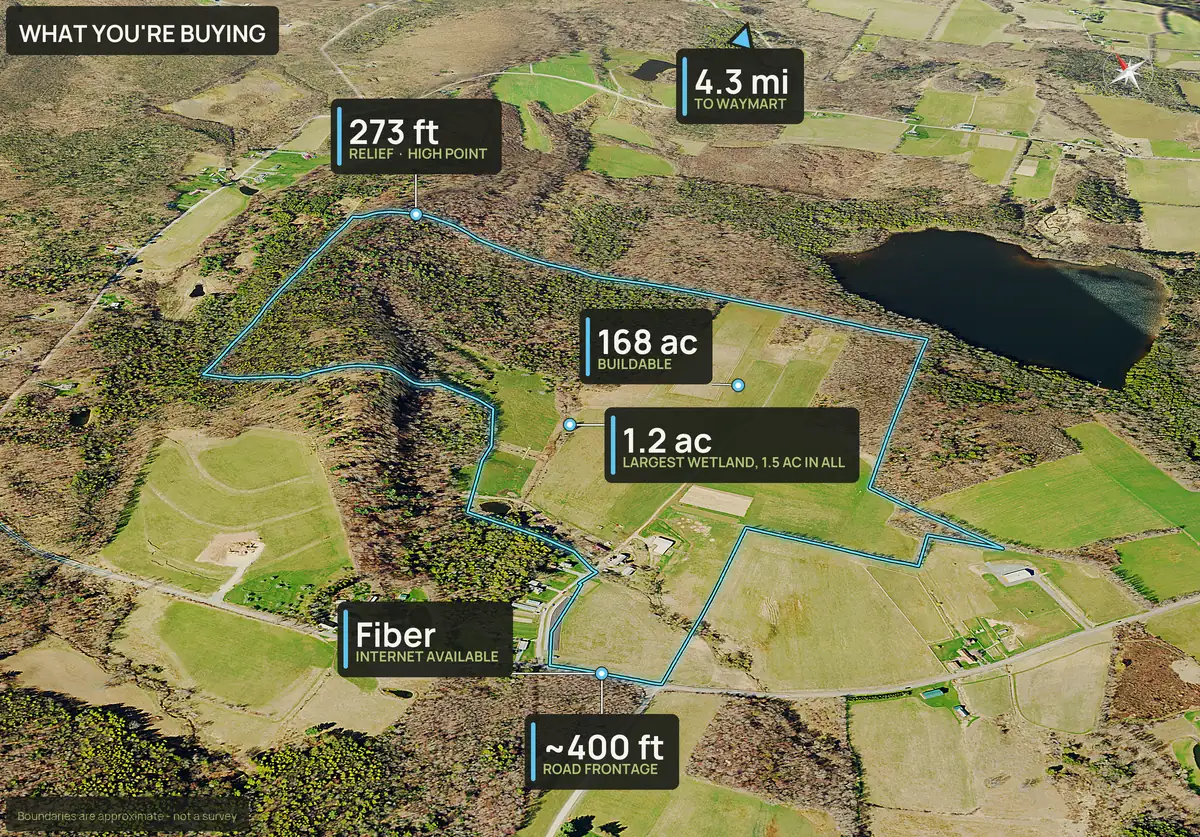
- Make the visuals.A boundary outlined aerial, terrain views and a map are the minimum. A drone shoot gives real photos. A rendered pack gives the boundary and ground facts faster and cheaper.
- Write the description.Open with acreage and location, then the strongest fact: road frontage, creek, views, timber, tillable ground or a home site.
- Post where land buyers look.Agents use the MLS and listing sites. Owners also use social posts and local land groups.
- Answer fast, with one link.Send each inquiry the same listing page, so every buyer gets the same facts.
Social kit
What you get to post.
One pack gives the listing a cover, a carousel and a What You're Buying picture that answers the first questions a buyer asks. These are the stills from a real 426 acre Montana pack, sized for the feed.
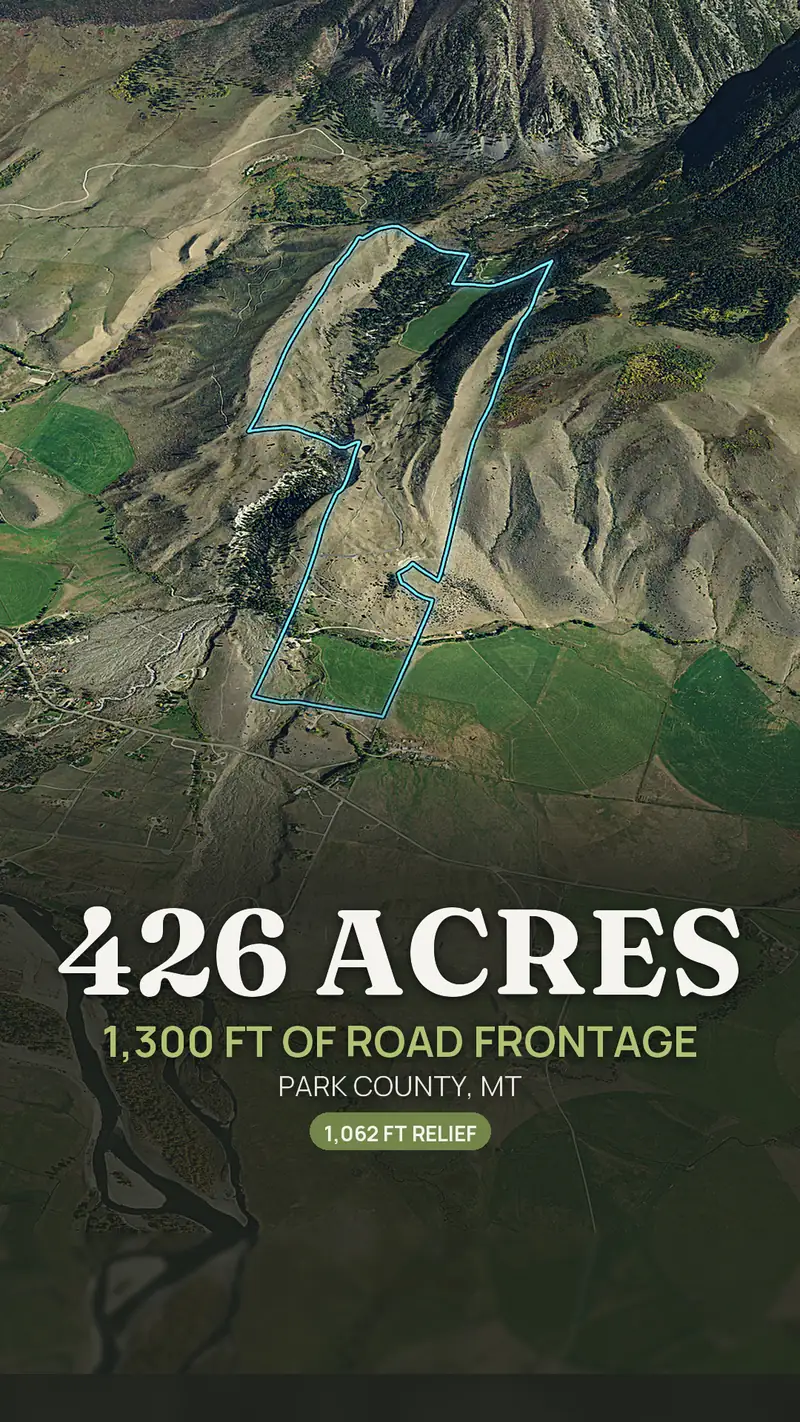
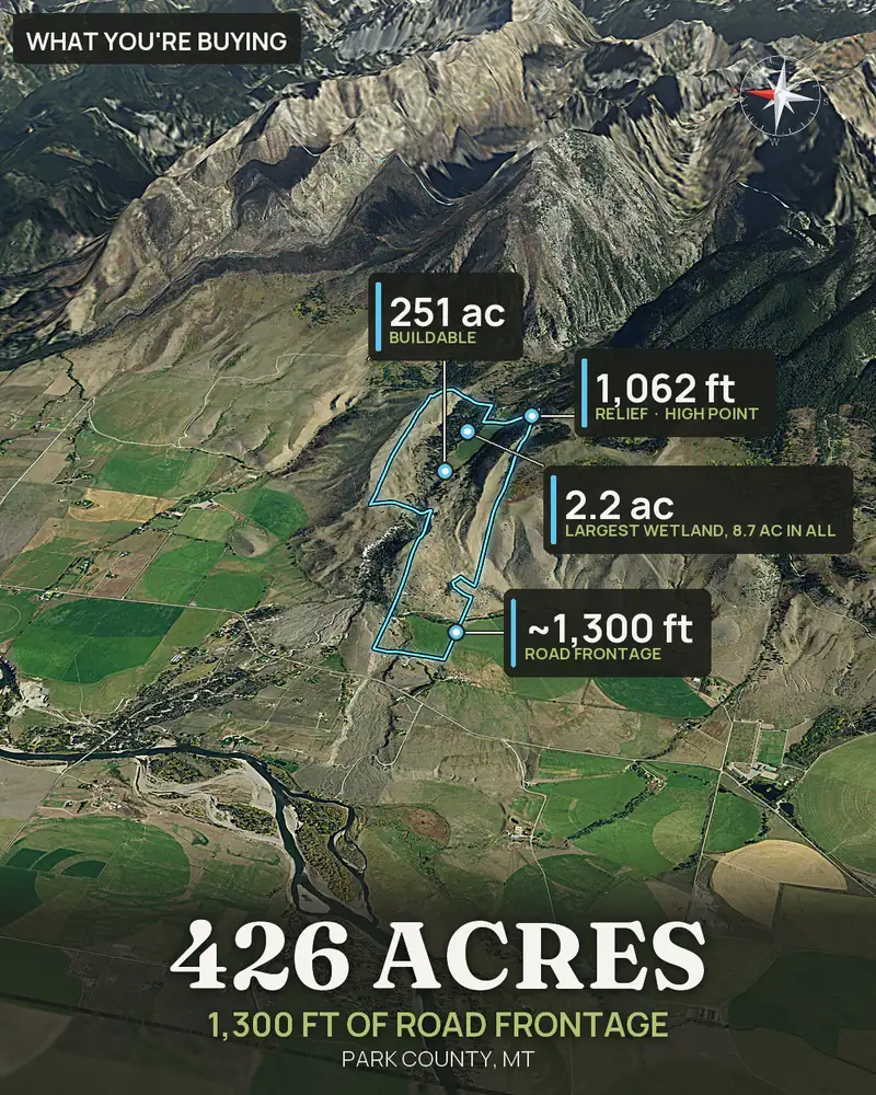
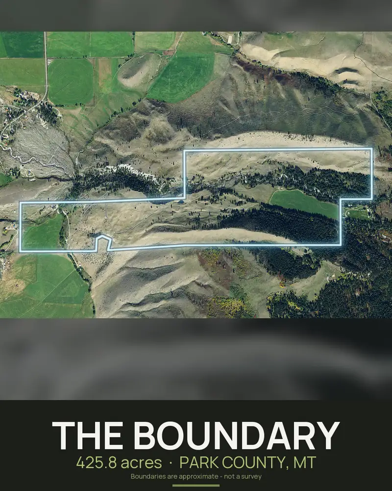
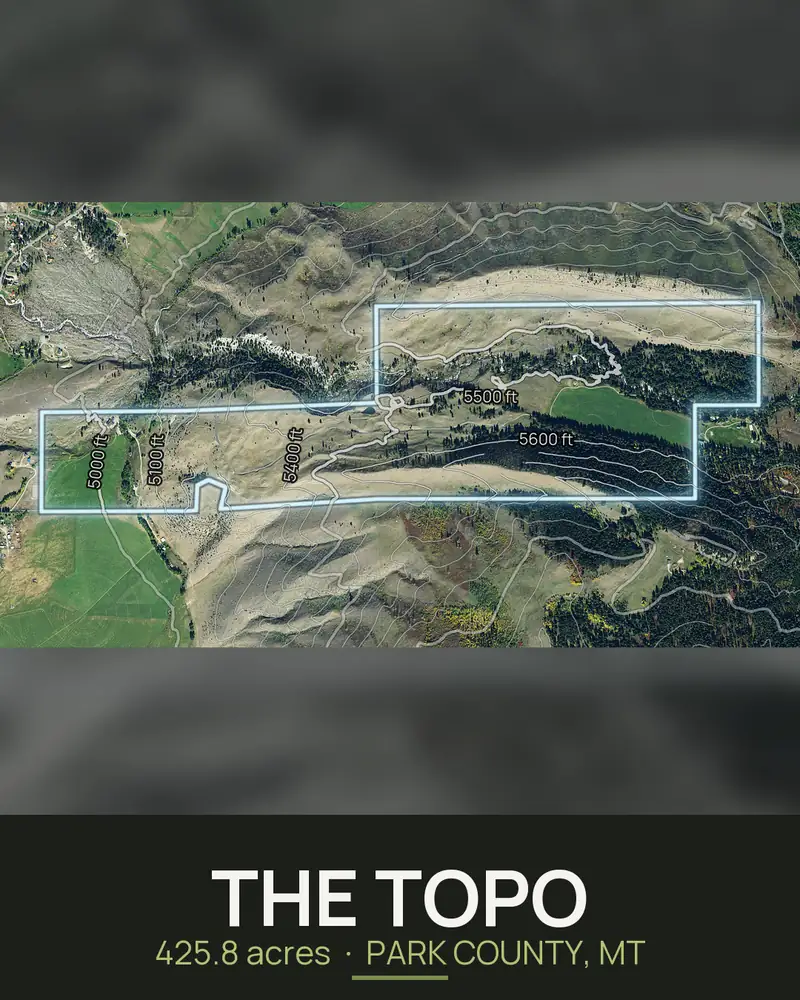
Social kit sizes include 9x16 story, 4x5 feed, 1x1 and a seven slide carousel.
What buyers look for in land photos.
- The boundary drawn on an aerial, so they know what is included.
- Terrain: contours, slope and a 3D view.
- Water, wooded ground and open ground.
- The road and how the parcel is reached.
- Neighbors and what is nearby.
A DirtFlight pack covers each of these from the APN in about ten minutes, with your logo on it on PayDirt Pro. It is rendered, not photographed, and the boundary is approximate.
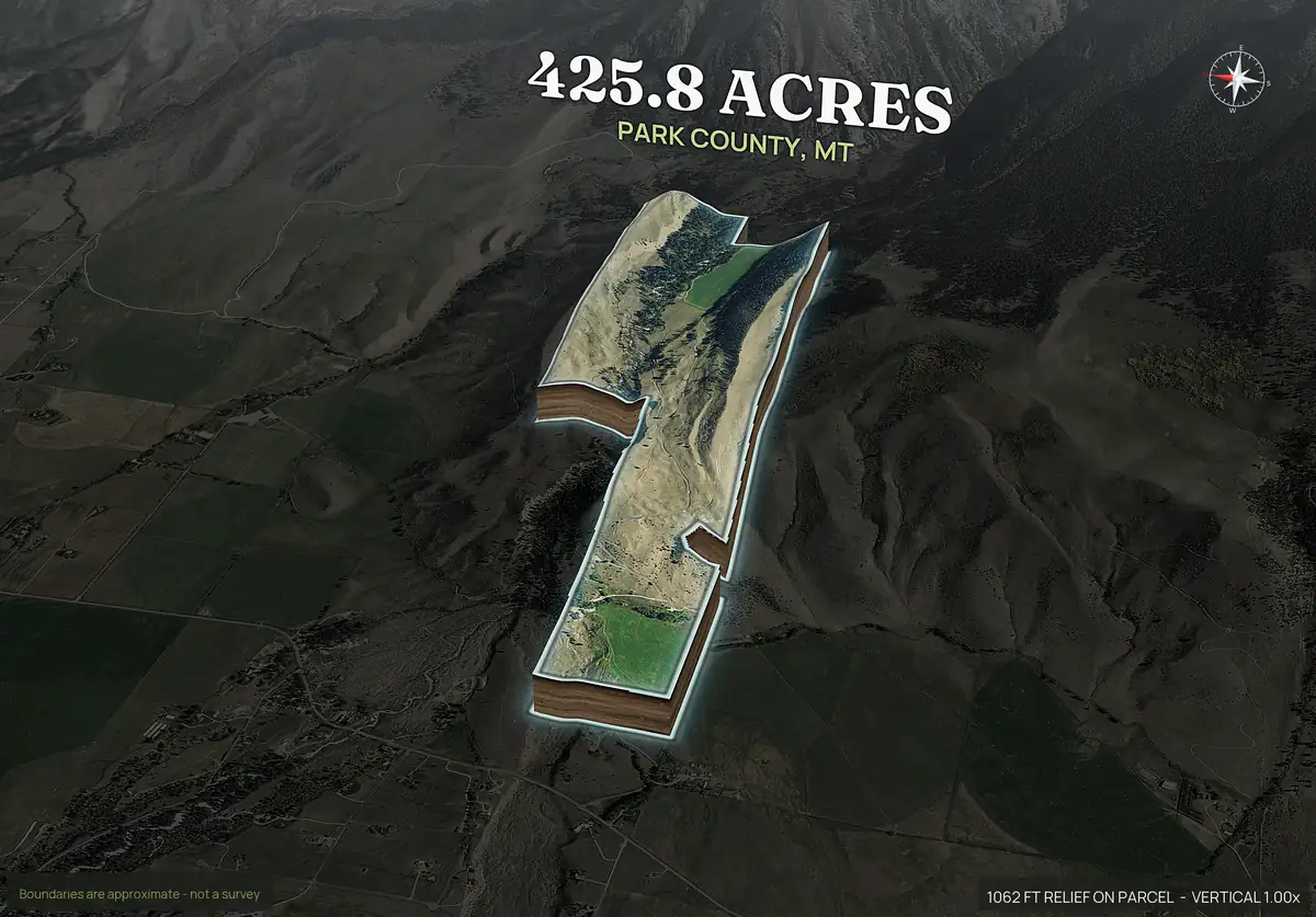
A pop-out that stops the scroll.
The pop-out lifts the parcel off the landscape with the acres and county on top. It is the picture people stop on in a feed, and it is the same image on the listing page.
The terrain cut away at the walls is rendered, not surveyed.
Common mistakes.
- No boundary on the photos.
- Asking price copied from a listing site instead of from sold land.
- No word on access, utilities or flood.
- Acreage that does not match the county record.
- Slow answers. Land buyers message several sellers at once.
A cheaper alternative to a drone shoot.
Drone photos are real, and a pilot can deliver a great hero shot. They also cost commonly $150 to $600, take days and need the pilot to reach the property. A rendered pack costs $79 on Paydirt and arrives in about ten minutes with the boundary drawn. See the brokerage page for the comparison, or the due diligence checklist for what a buyer checks.
Straight answers
Questions people ask about this.
What do I need to list land for sale?
The deed or legal description, the APN, the acreage, the access details, a price based on recent comparable sales, and good visuals with the boundary drawn.
Do I need an agent to sell land?
No. Owners sell directly. An agent brings the MLS, listing sites, buyers and comparable sales. State rules differ, so check yours.
What photos sell land?
A boundary aerial, terrain views, water and cover, and the road. Drone photos or rendered aerials both work.
How do I find the boundary of my land?
Use the county's online parcel map or your tax record for the approximate line, and the deed or a survey for the exact one.
How much does it cost to make aerial photos for a land listing?
A drone shoot commonly costs $150 to $600. DirtFlight is free for a limited time, then $29 or $79 a parcel.
Free for a limited time.
Make an account, enter an APN, and the pack renders in about ten minutes. After launch, Dirt is $29 a parcel, Paydirt is $79, PayDirt Pro is $199 a month for 20 Paydirt packs, and Pro+ is $299 for 45.
Start free