DirtFlight / What land aerial photography costs
Pricing guide
How much does aerial photography of land cost?
Two ways to get aerial photos of a parcel: hire a drone pilot, or render a pack from the parcel number. This is what each costs, what moves the price, and every DirtFlight plan.
Short answer
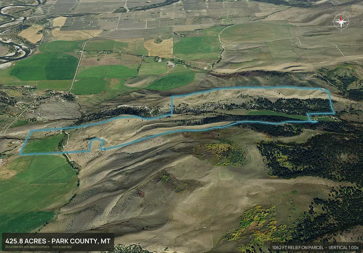
A rural drone shoot for a land listing commonly costs $150 to $600 plus travel and takes five to nine days. DirtFlight renders an aerial pack from the parcel number in about ten minutes: Dirt is $29 a parcel, Paydirt is $79, and PayDirt Pro is $199 a month for 20 packs. Free for a limited time.
The cost of each way to get aerial photos.
| Option | Typical cost | Time | What you get |
|---|---|---|---|
| Hire a drone pilot | About $150 to $600 for edited photos on a rural parcel, plus travel | Commonly five to nine days | Real photographs and video of the ground today |
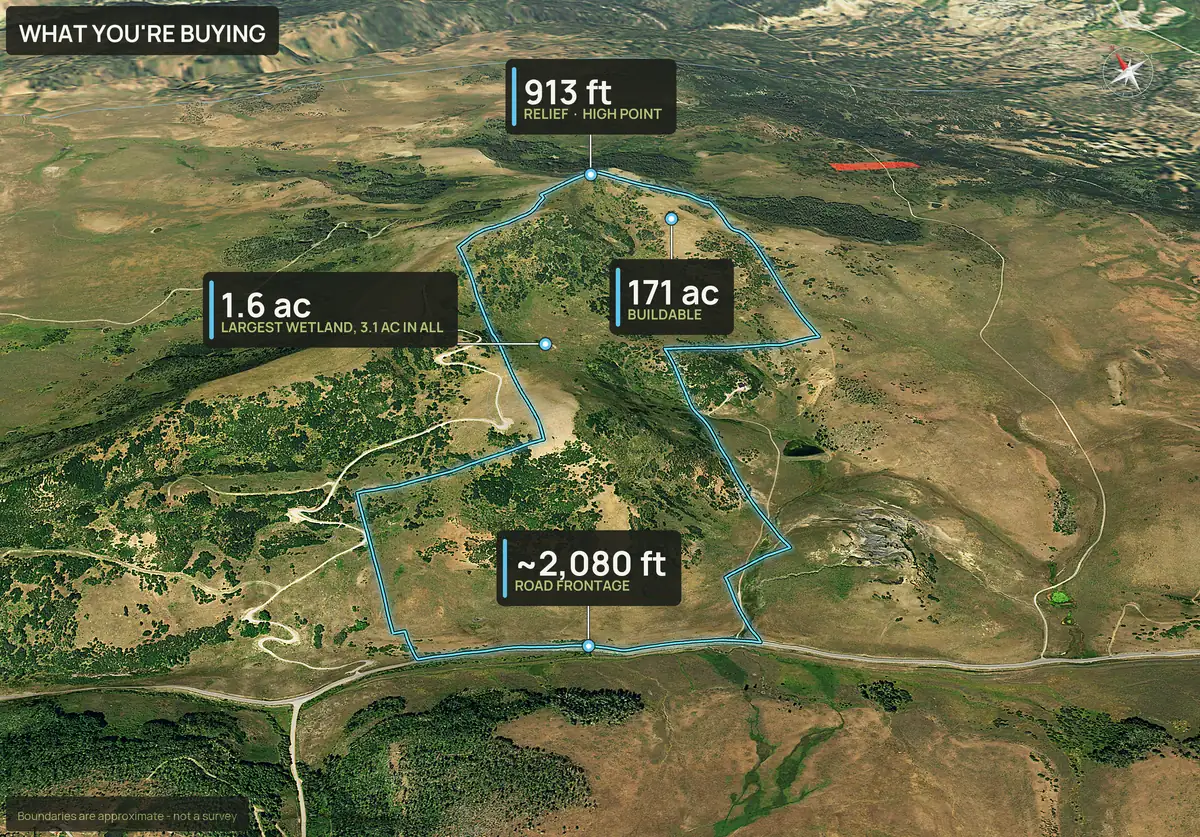
| Dirt (DirtFlight) | $29 a parcel | About ten minutes | Boundary outlined aerial, four 3D views, 18 second orbit video, listing page, parcel info sheet, full resolution files |
| Paydirt (DirtFlight) | $79 a parcel | About ten minutes | Everything in Dirt plus road frontage hero, contour map, access and context maps, infrared view, social kit, pop-out photos, 3D explorer and measured flood, wetland, slope, soils and septic facts |
| Subdivide / Multi-parcel pack (DirtFlight) | $149 for the whole tract plus up to 5 lots | About ten minutes each | A Paydirt pack for the whole tract and for each lot, whether the lots are the adjoining parcels you enter or lots you draw or upload after the tract renders. 6 or more: contact us for a quote |
| PayDirt Pro | $199 a month, 20 Paydirt packs, about $9.95 a pack | About ten minutes each | Paydirt packs with your logo, embed code and LiDAR canopy views where LiDAR exists |
| PayDirt Pro+ | $299 a month, 45 Paydirt packs, about $6.64 a pack | About ten minutes each | Everything in PayDirt Pro |
| Enterprise | Custom. Write to support@dirtflight.com | Teams and seats, Site Physicals, full Site Diligence Report, bulk import and higher volume |
DirtFlight is free for a limited time. The prices above apply after launch. Monthly plans have a hard cap on packs and unused packs do not roll over.
Drone pricing
What changes the price of a drone shoot.
- Distance. A pilot charges for the drive, so a tract two counties out costs more than one in town.
- Size and number of shots. More acres and more angles mean more flight time and more editing.
- Video. A cut and edited video costs more than a set of stills.
- Weather and scheduling. Wind, rain and a full calendar push delivery out.
- Licensing and insurance. Commercial drone work generally needs a certified remote pilot, and that is part of what you pay for.
Ask any pilot what is in the quote: number of photos, resolution, video, editing, travel and revisions.
DirtFlight
What the DirtFlight price includes.
There is no travel charge, no minimum order and no retainer. Dirt and Paydirt are flat per parcel. The boundary is drawn on every view, a hosted listing page comes with each pack, and packs stay downloadable for 30 days. After 30 days you can rebuild a saved parcel for $9.95 (Dirt) or $19.95 (Paydirt).
The boundary is approximate, not a survey. The imagery is the most recent aerial available for that county, usually one to three years old, so it is not a photograph of the ground today.
Per month
What it costs by number of listings.
Using the low end of a drone shoot at $150 per parcel.
| Parcels a month | Paydirt at $79 each | PayDirt Pro (up to 20) | Drone shoot at $150 each |
|---|---|---|---|
| 1 | $79 | $199 | $150 |
| 2 | $158 | $199 | $300 |
| 3 | $237 | $199 | $450 |
| 5 | $395 | $199 | $750 |
| 10 | $790 | $199 | $1,500 |
PayDirt Pro costs less than three Paydirt parcels at $79. A drone shoot gives you real photographs and DirtFlight does not, so the honest comparison is on the drone vs DirtFlight page.
Launch
Free for a limited time.
Make an account, enter a parcel number and the pack renders. When pricing starts, Dirt is $29 a parcel, Paydirt is $79, the Subdivide / Multi-parcel pack is $149 for the whole tract plus up to 5 lots, PayDirt Pro is $199 a month and PayDirt Pro+ is $299 a month. Nothing on this page is a quote for a drone shoot, which is priced by the pilot.
Straight answers
Questions people ask about this.
How much does aerial photography of land cost?
A rural drone shoot commonly costs about $150 to $600 for the edited photos, plus travel. A DirtFlight pack costs $29 for Dirt or $79 for Paydirt per parcel, or $199 a month for 20 Paydirt packs. It is free for a limited time.
How much does a drone photographer charge per acre?
Most pilots quote per shoot, not per acre, and the price depends on distance, the number of shots, video and editing. Ask what the quote includes before you compare.
What does DirtFlight cost?
Dirt is $29 a parcel, Paydirt is $79 a parcel, the Subdivide / Multi-parcel pack is $149 for the whole tract plus up to 5 lots, PayDirt Pro is $199 a month for 20 Paydirt packs, and PayDirt Pro+ is $299 a month for 45 packs. Enterprise is custom. Every pack is free for a limited time.
Are there hidden fees?
No travel charge, no minimum order and no retainer. Monthly plans have a hard cap on packs, unused packs do not roll over, and a saved pack can be rebuilt after 30 days for $9.95 (Dirt) or $19.95 (Paydirt).
Is DirtFlight cheaper than a drone?
Per parcel, yes, and it is ready in about ten minutes. It is not a new photograph of the ground, so a drone is still better when you need close detail or today's conditions.
Is there a free option?
Yes. Every pack is free for a limited time. Make an account at app.dirtflight.com and enter a parcel number.
Free for a limited time.
Make an account, enter an APN, and the pack renders in about ten minutes. After launch, Dirt is $29 a parcel, Paydirt is $79, PayDirt Pro is $199 a month for 20 Paydirt packs, and Pro+ is $299 for 45.
Start free